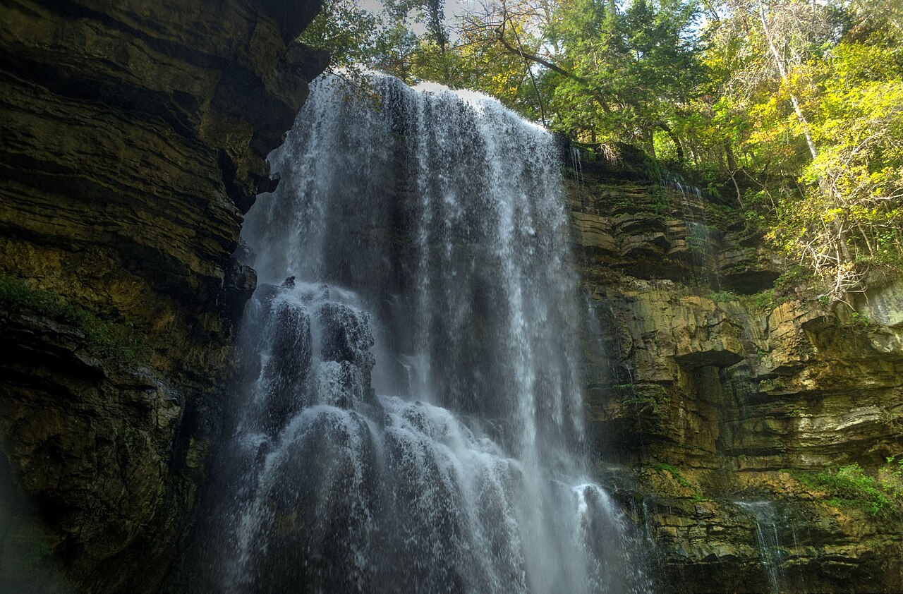
Little Piney Creek drops about 80 feet over Upper Piney Falls in this National Natural Landmark in Rhea County, where a concave ledge lets visitors walk behind the falling water. Lower Piney Falls drops another 40 feet downstream but is not trail-accessible.
Its 80 ft drop is taller than about 63% of the 775 waterfalls we track.
Upper Piney Falls sits on Little Piney Creek. It lies in Rhea, Tennessee. The site is on public land managed by Piney Falls State Natural Area (TN State Parks).
This is a moderate hike waterfall: a longer day hike, roughly one to several miles each way. Reaching it takes a moderate walk, so budget time and pack water before you set out. The walk to the main viewpoint runs about 2 miles round trip. The nearest town is Spring City.
When to go: Spring (high flow). Flow usually peaks after snowmelt and heavy rain and tapers through late summer — a quick look at recent streamflow and the managing agency's conditions page can save a wasted trip.