How to read this guide (and a note on heights)
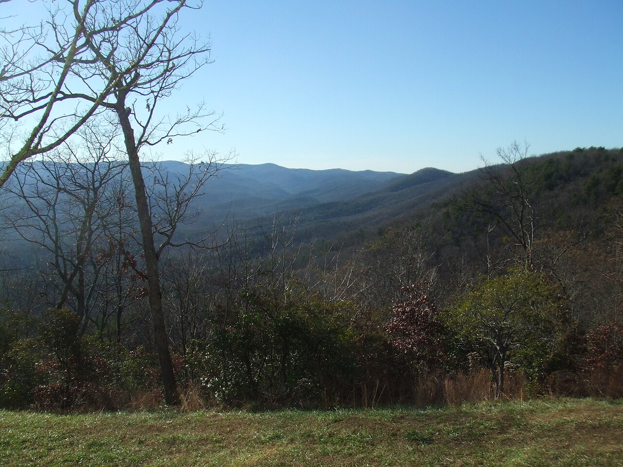
Almost every waterfall worth chasing in Georgia sits in the same corner of the state: the southern Blue Ridge Mountains across the top tier of counties, where the Chattahoochee-Oconee National Forest and a handful of state parks protect the steep, rain-fed creeks that produce them. This guide is a curated selection of eleven documented falls, not an exhaustive list — Georgia has hundreds of named and unnamed drops, and dozens more cascades that only appear after a storm. We have chosen the ones that combine genuine visual payoff, reliable public access, and a documented trail you can actually plan a day around.
A word on the numbers, because waterfall heights are messier than they look. A 'height' can mean a single vertical plunge, the tallest single drop in a chain, or the cumulative fall of a long cascade measured from top to bottom. Amicalola Falls is listed at 729 feet, but that figure describes a long, stair-stepped cascade rather than one sheer cliff — a very different thing from a 153-foot plunge measured straight down. Different sources measure differently, so where we cite a height we are reporting the figure used by the land manager or a standard reference, not asserting laser-survey precision. Treat the numbers as well-sourced approximations and judge a fall by its character, not just its digits.
Seasonality matters more in Georgia than in places fed by glacial melt or snowpack. These are rain-driven creeks, so the falls are at their loudest and widest in late winter and spring (roughly March through May) and after any heavy rain, and they thin out — sometimes dramatically — during late-summer drought. We note the best season for each fall where it is documented. The one famous exception is Tallulah Gorge, where the river's flow is controlled by a dam and the big-water days are literally scheduled on a calendar.
Amicalola Falls — the headliner
If you visit one Georgia waterfall, make it Amicalola. At a documented 729 feet, it is the tallest waterfall in the state and one of the tallest east of the Mississippi, dropping Little Amicalola Creek down a long, tiered cascade rather than a single sheer plunge. The name comes from a Cherokee term commonly translated as 'tumbling waters,' which is exactly what you get: a broad ribbon of whitewater stepping down the mountainside in a series of falls and chutes. The whole thing is protected inside Amicalola Falls State Park near Dawsonville, which makes it the most infrastructure-rich waterfall on this list.
Access is unusually flexible. The reflection-pool base and the top of the falls are both reachable by short walks from parking areas, and an approach trail connects the two — many visitors climb the staircase that switchbacks up the face of the cascade for a roughly one-mile, moderate effort with hundreds of steps and several mid-fall viewing platforms. You can do as much or as little of the climb as you like, which makes Amicalola a rare big waterfall that works for both serious hikers and families who just want the view. The park is also the staging ground for the 8.5-mile approach trail to Springer Mountain, the southern terminus of the Appalachian Trail.
Plan for spring or the days after heavy rain to see it at full volume; that is when the cascade fills out across its full width. Even in drier months it is impressive because of the sheer drop and the engineered viewing access, but the difference between a wet-season Amicalola and a late-summer one is substantial.
The classic easy-access falls
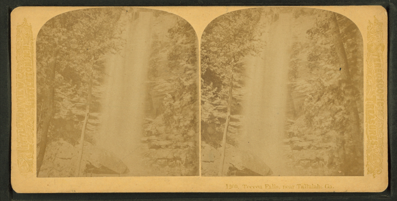
Not every great waterfall demands a hard hike, and a cluster of Georgia's best ones reward almost no effort at all. Toccoa Falls, near the town of Toccoa, is the most striking of these: a 186-foot plunge — taller than Niagara — that pours over a single cliff on Toccoa Creek. It sits on the private campus of Toccoa Falls College and is reached by a flat path of roughly 0.2 miles from a gift shop, with a small admission fee. The falls carry a somber history: in November 1977, the Kelly Barnes Dam upstream failed during heavy rain and the resulting flood killed 39 people and devastated the campus, a disaster the U.S. Geological Survey documented in detail. Today the falls are serene, and a visit is as much a moment of remembrance as a scenic stop.
Anna Ruby Falls, just outside Helen, is the easiest twin-waterfall payoff in the state. Here two creeks — Curtis Creek and York Creek — drop side by side (a documented 153 feet and 50 feet respectively) and merge at the base to form Smith Creek. A fully paved 0.4-mile trail managed by the U.S. Forest Service leads from the visitor center to observation decks at the foot of the falls, making it one of the few Georgia waterfalls genuinely accessible to wheelchairs and strollers. Spring is the standout season, when both creeks run full.
Helton Creek Falls, near Blairsville, packs an outsized reward into a tiny walk. From the forest-road trailhead it is only about 0.3 miles down to a set of viewing platforms beneath two tiered drops totaling roughly 100 feet on Helton Creek. The road in is rough and unpaved, but the hike itself is easy and short, and the falls are a local favorite in spring. DeSoto Falls, north of Dahlonega, is similar in spirit: a Forest Service recreation area on Frogtown Creek with multiple drops (the trail reaches a lower fall in about a quarter mile and an upper fall in roughly three-quarters of a mile), an observation deck, and an easy, kid-friendly grade across a documented round trip of a couple of miles.
The short-hike payoffs
A step up in effort opens a tier of falls that feel more like a real outing without crossing into a hard hike. Minnehaha Falls, near Lakemont, is one of the best-loved cascades in north Georgia: a wide, roughly 100-foot tumble of Falls Creek down a staircase of mossy rock ledges, reached by a short walk of about 0.4 miles from a small lakeside trailhead. It photographs beautifully — the tiered ledges break the water into dozens of small white threads — and it runs best in spring.
Holcomb Creek Falls, near Clayton in the far northeast corner of the state, is a long cascade of about 120 feet on Holcomb Creek. The trail in runs roughly 1.75 miles and is rated moderate; many hikers pair it with nearby Ammons Creek Falls on the same loop, getting two waterfalls for one walk. The forest road to the trailhead is unpaved and can be slow going, but the falls themselves are a rewarding, shaded cascade.
These mid-distance falls are where Georgia's waterfall hiking really opens up: enough of a walk to feel like you have earned the view and to leave the crowds behind, but short enough to fit several into a single day if you are touring the northeast Georgia mountains around Clayton, Helen, and Blairsville.
When you want to work for it
The most rewarding waterfall hikes in Georgia ask for a real effort, and three stand out. Dukes Creek Falls, near Helen, drops about 150 feet in a series of tiers where Davis Creek and Dukes Creek come together. A well-built Forest Service trail of roughly 2.3 miles round trip switchbacks down into the gorge — easy on the way in, a steady climb on the way back — ending at a viewing platform with a long sightline to the cascade. It is one of the most scenic moderate hikes in the Helen area.
Raven Cliff Falls is the connoisseur's pick. The trail follows Dodd Creek upstream for about 2.5 miles one way (roughly five miles round trip) through a gorge thick with rhododendron and hemlock, crossing footbridges and passing smaller cascades before delivering one of the strangest waterfalls in the Southeast: Dodd Creek pours through a vertical cleft that splits a massive rock outcrop, dropping roughly 100 feet through the fissure rather than over the face of it. It lies within the Raven Cliffs Wilderness, so the trail is rugged and the experience is genuinely wild despite its popularity.
High Shoals Falls, near Hiawassee, is the most remote-feeling of the trio. The hike runs about 2.4 miles round trip and is rated moderate, but the forest road to the trailhead requires a high-clearance vehicle and a creek ford, which keeps the crowds down. The reward is a roughly 50-foot cascade on High Shoals Creek (and a second smaller fall on the same trail) tucked deep in the Chattahoochee National Forest. Spring is the season to go, when the creek is full and the access road is most passable.
Tallulah Gorge: the waterfall on a schedule
Tallulah Gorge is the wild card on this list, because the waterfall you see depends entirely on the calendar. Hurricane Falls is a roughly 96-foot cataract of the Tallulah River inside Tallulah Gorge State Park, near the town of Tallulah Falls — but the river's flow is controlled by an upstream Georgia Power dam. Most of the year the gorge shows a modest, photogenic flow; on scheduled aesthetic-release weekends (typically in spring and fall) the utility opens the dam and the falls transform into a thundering wall of whitewater echoing off canyon walls that are among the oldest exposed rock in the region.
Reaching the floor of the gorge is the most strenuous outing in this guide. The Hurricane Falls loop is about two miles round trip but descends — and climbs back up — roughly 1,000 metal stairs, with a suspension bridge spanning the gorge partway down for a dramatic mid-air view of the falls. It is genuinely demanding, and the state park limits the number of free permits issued each day for hikers going all the way to the gorge floor, so arrive early. Rim-trail overlooks give an easier, no-stairs alternative if you just want the view.
Time a visit to a scheduled release if you possibly can. Georgia Power and the state park publish the release dates well in advance — the big whitewater releases draw kayakers from across the country, and even the gentler aesthetic releases noticeably swell the falls. Outside those windows, Tallulah is still worth seeing for the gorge itself, one of the deepest canyons in the eastern United States, but Hurricane Falls is a fraction of its release-day self.
