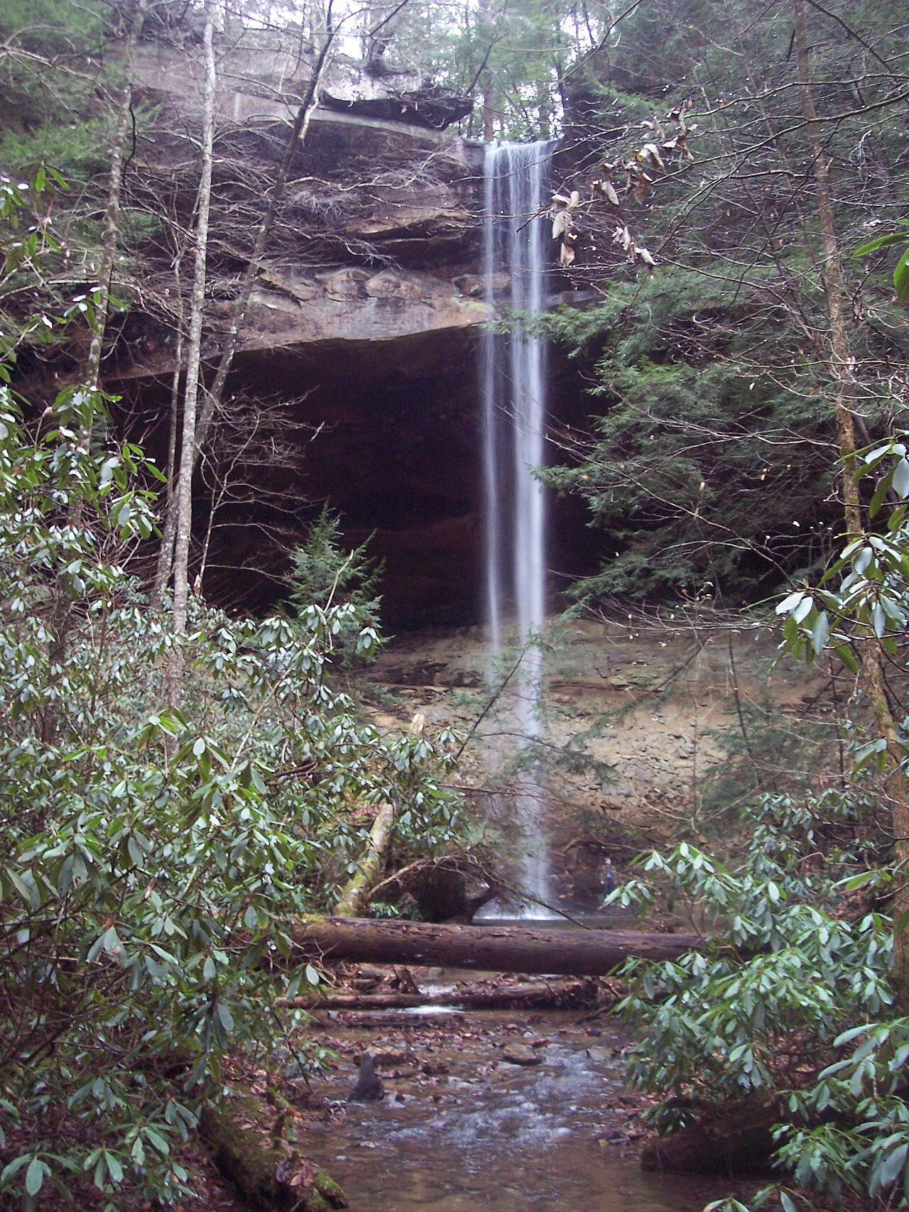
A roughly 40-foot waterfall in the Daniel Boone National Forest near London, reached by a section of the Sheltowee Trace Trail through Cane Creek Valley. The falls spill into a sandstone amphitheater.
Its 40 ft drop is taller than about 33% of the 775 waterfalls we track.
The falls are fed by Van Hook Branch. It lies in Laurel, Kentucky. The site is on public land managed by U.S. Forest Service / Daniel Boone National Forest.
This is a moderate hike waterfall: a longer day hike, roughly one to several miles each way. Reaching it takes a moderate walk, so budget time and pack water before you set out. The walk to the main viewpoint runs about 5.4 miles round trip. The nearest town is London.
When to go: winter-spring. Flow usually peaks after snowmelt and heavy rain and tapers through late summer — a quick look at recent streamflow and the managing agency's conditions page can save a wasted trip.