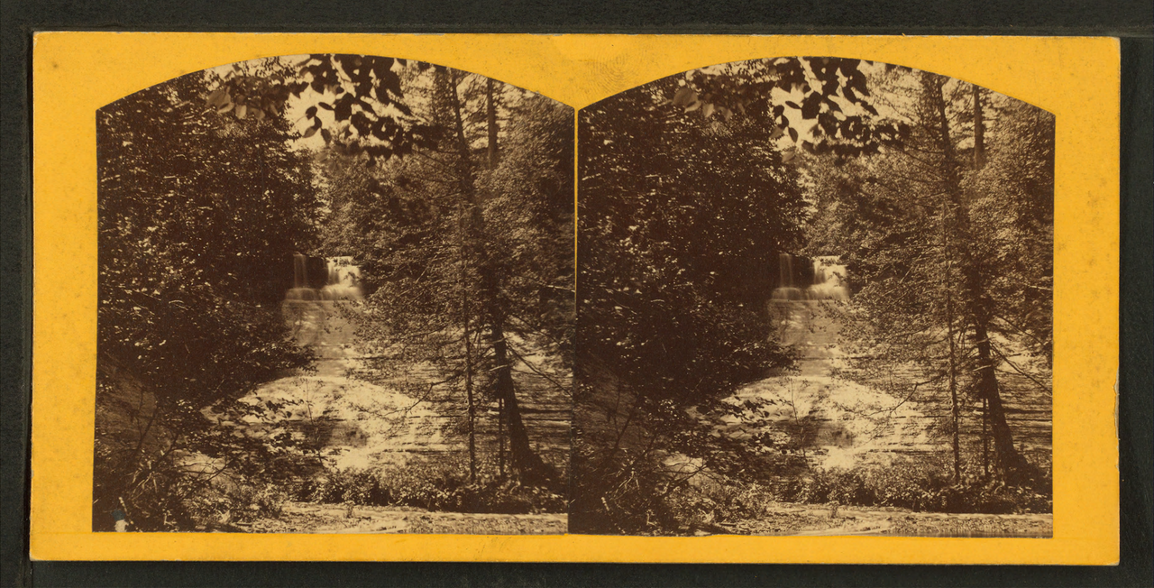
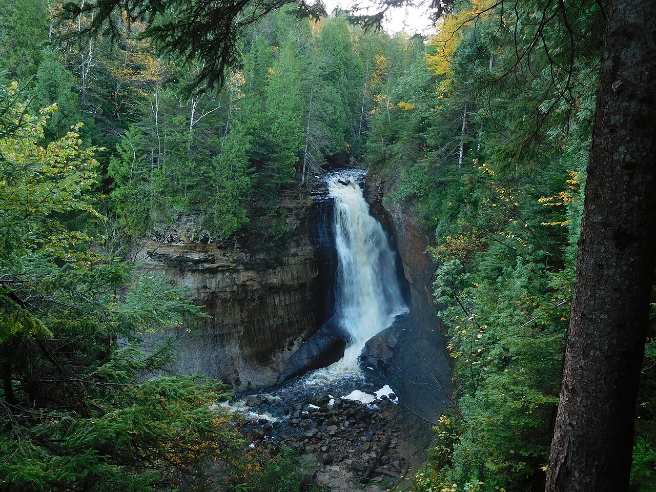
Spray Falls is the most remote waterfall in Pictured Rocks National Lakeshore, plunging about 70 feet directly off the sandstone cliffs into Lake Superior in Alger County. It is reached by a roughly 8-mile round-trip hike from the Little Beaver Lake trailhead or via the Chapel/Lakeshore Trail.
At 70 ft, it stands above roughly 54% of the 775 documented falls in this guide.
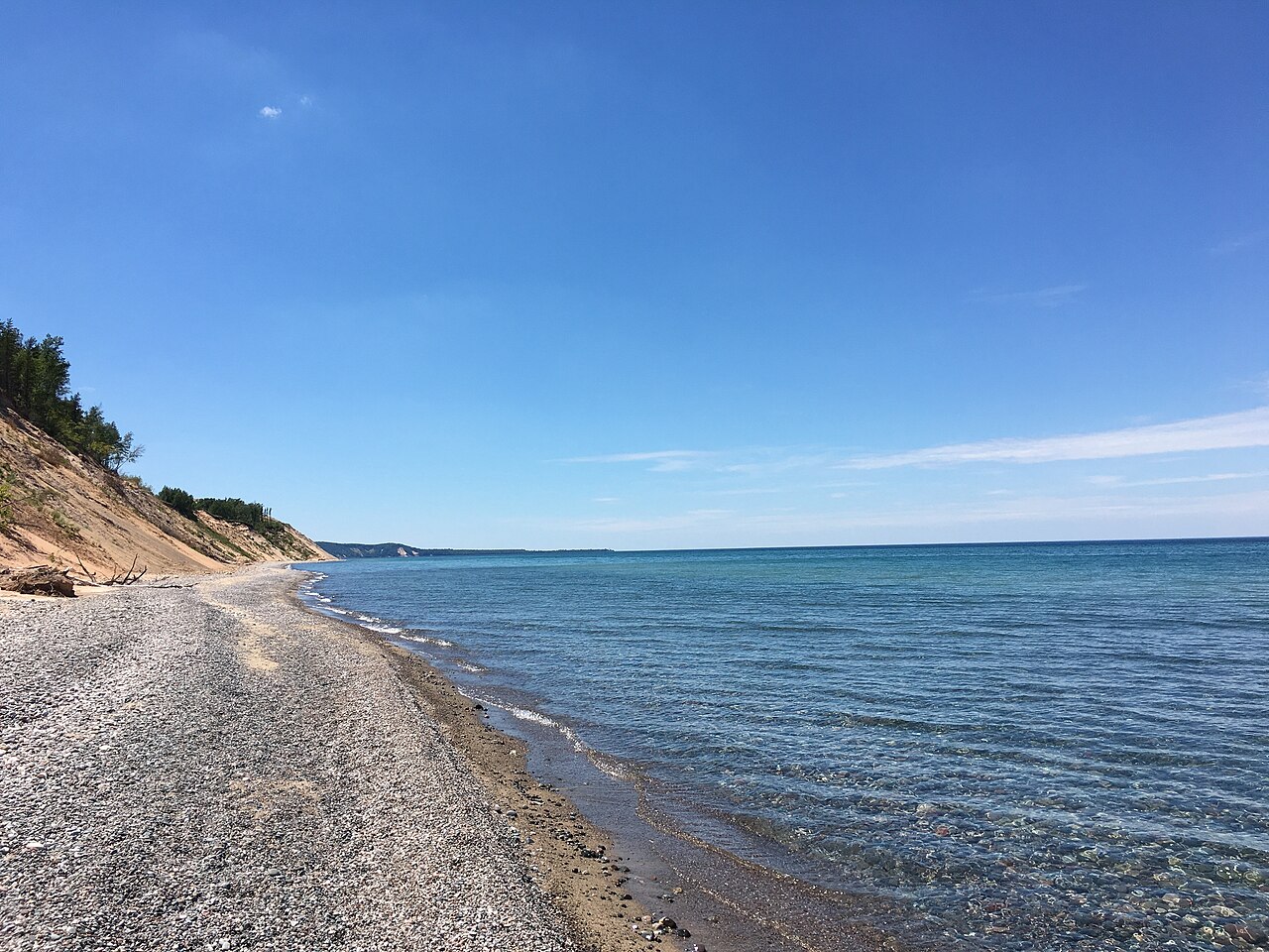
The falls are fed by Spray Creek. You'll find it in Alger, Michigan. It is protected within NPS – Pictured Rocks National Lakeshore.
This is a backcountry waterfall: a remote, long, or permit-required trek for prepared visitors. Getting there takes a genuine backcountry effort, so come prepared with navigation, water, and enough daylight. The walk to the main viewpoint runs about 8.2 miles round trip. Base a visit out of Munising, the closest town.
When to go: summer. Like most waterfalls, Spray Falls runs highest after snowmelt or heavy rain and can thin out in late summer, so it's worth checking recent streamflow and the land manager's conditions page before a long drive.