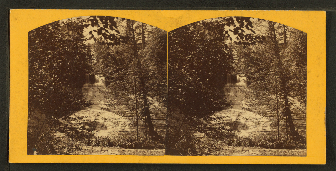
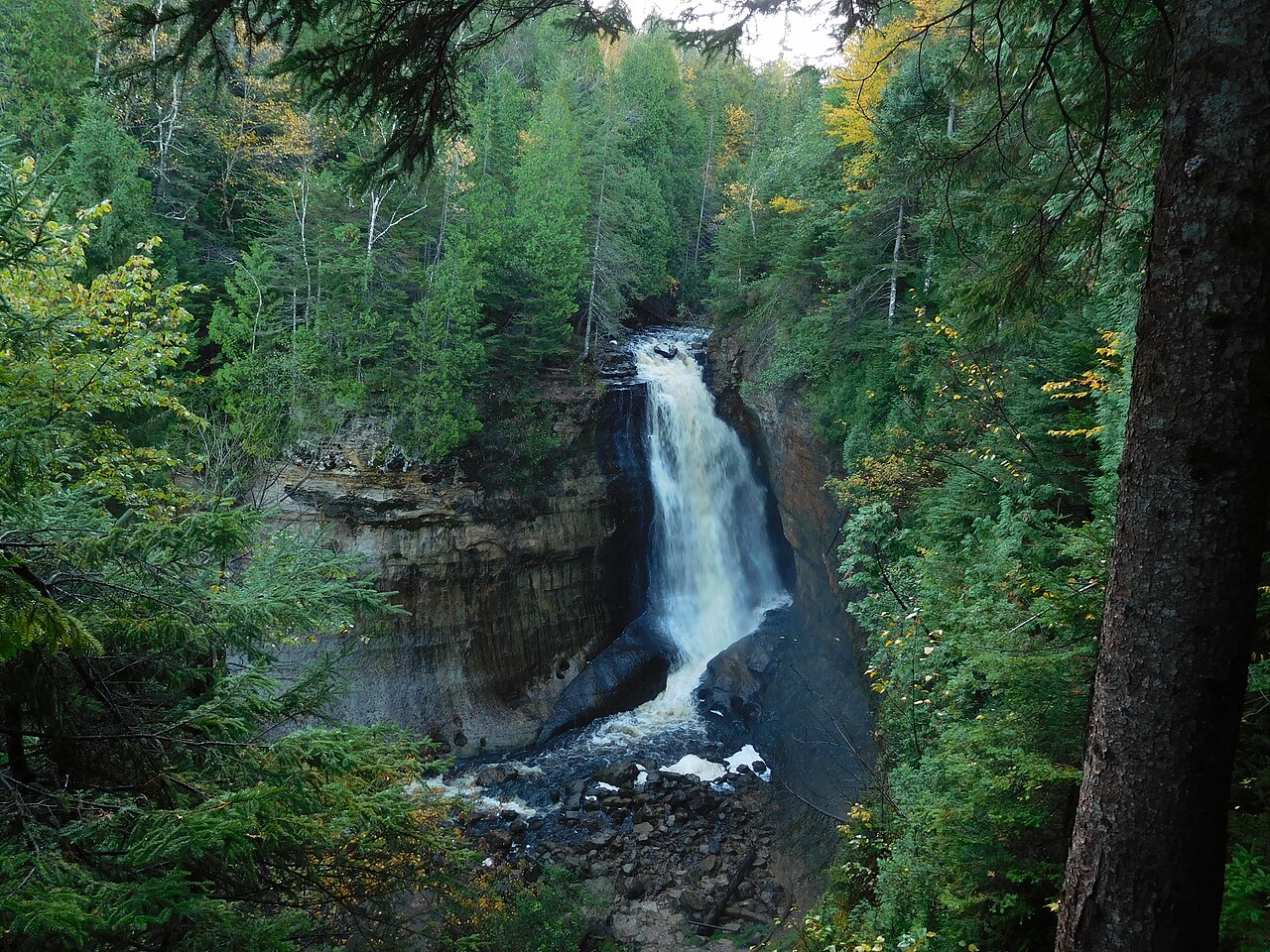
Chapel Falls drops about 60 feet into the Chapel Creek basin within Pictured Rocks National Lakeshore. It is reached by a forested trail from the Chapel Falls trailhead and can be extended into the longer Chapel Loop toward Lake Superior.
At 60 ft, it stands above roughly 48% of the 775 documented falls in this guide.
The falls are fed by Chapel Creek. You'll find it in Alger, Michigan. It is protected within NPS (Pictured Rocks National Lakeshore).
This is a moderate hike waterfall: a longer day hike, roughly one to several miles each way. Plan for a moderate hike; sturdy shoes, water, and a little time on the trail are worth bringing. The walk to the main viewpoint runs about 2.9 miles round trip. Base a visit out of Munising, the closest town.
When to go: summer. Expect the strongest flow in spring and after big storms, with a quieter trickle by late summer; confirm current conditions with the land manager before committing to the drive.