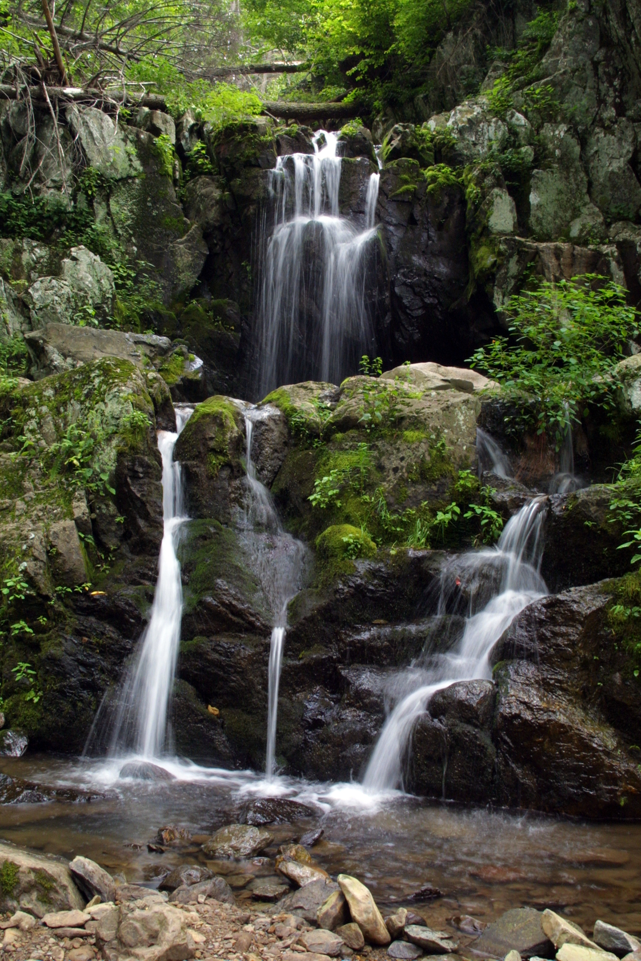
Doyles River Falls features an upper falls and a lower falls (the lower drop reported around 63 feet) in the South District of Shenandoah National Park, accessed from the Doyles River Parking Area at Skyline Drive mile 81.1. The out-and-back hike is about 3.3 miles with roughly 1,189 feet of elevation gain.
Its 63 ft drop is taller than about 49% of the 775 waterfalls we track.
Its water comes from Doyles River. It lies in Albemarle, Virginia. The site is on public land managed by National Park Service (Shenandoah National Park).
This is a moderate hike waterfall: a longer day hike, roughly one to several miles each way. Reaching it takes a moderate walk, so budget time and pack water before you set out. The walk to the main viewpoint runs about 3.3 miles round trip. The nearest town is Crozet.
When to go: spring. Flow usually peaks after snowmelt and heavy rain and tapers through late summer — a quick look at recent streamflow and the managing agency's conditions page can save a wasted trip.