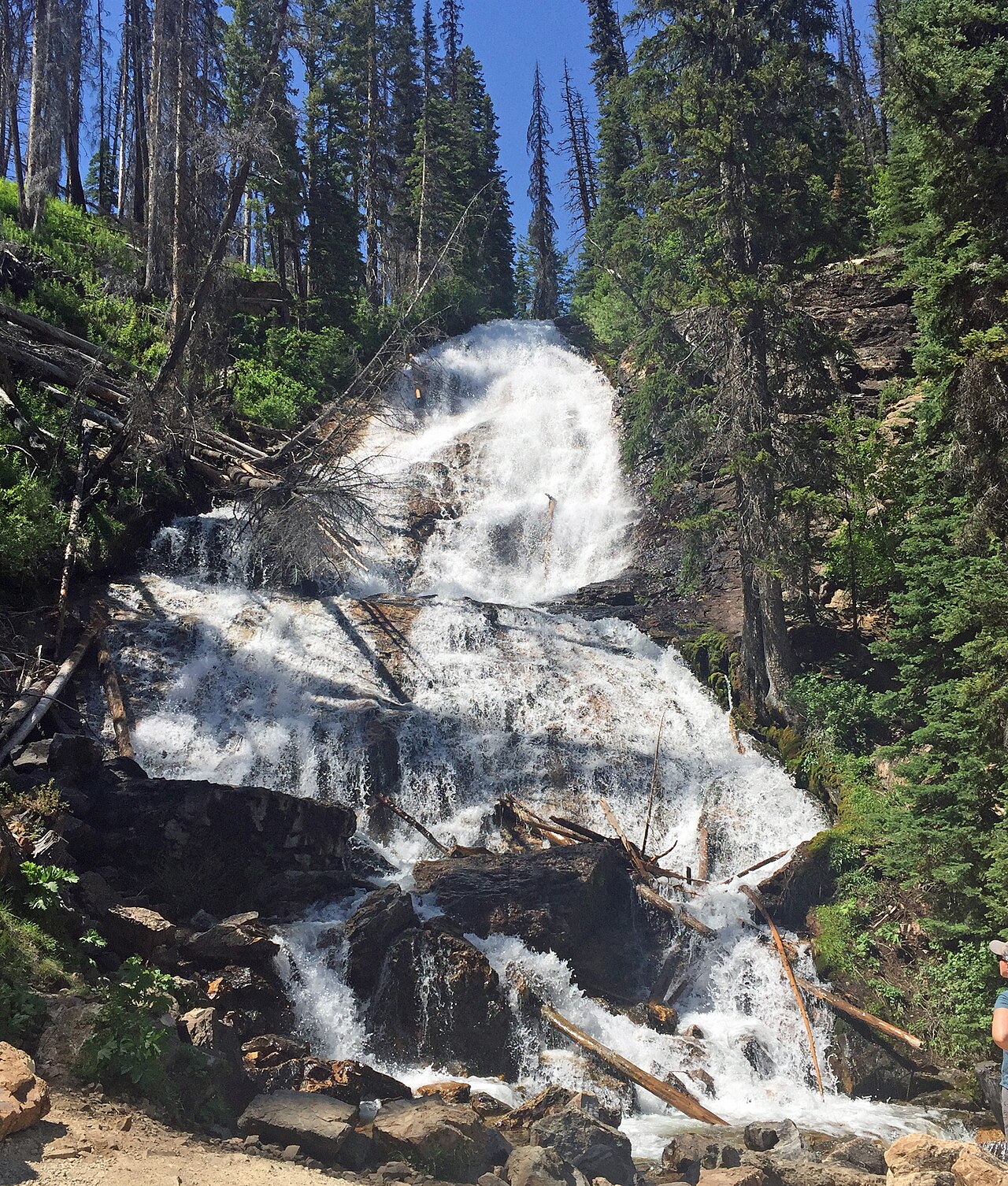
Champagne Falls plunges about 80 feet onto a large dark rock along the Hyalite Creek Trail in the Gallatin Range south of Bozeman, one of nearly a dozen waterfalls strung along the popular canyon route. It sits roughly 3.1 miles in from the Hyalite Creek Trailhead.
At 80 ft, it stands above roughly 63% of the 775 documented falls in this guide.
The falls are fed by Hyalite Creek. You'll find it in Gallatin, Montana. It is protected within Custer Gallatin National Forest (USFS).
This is a moderate hike waterfall: a longer day hike, roughly one to several miles each way. Plan for a moderate hike; sturdy shoes, water, and a little time on the trail are worth bringing. The walk to the main viewpoint runs about 7.4 miles round trip. Base a visit out of Bozeman, the closest town.
When to go: summer to early fall. Like most waterfalls, Champagne Falls runs highest after snowmelt or heavy rain and can thin out in late summer, so it's worth checking recent streamflow and the land manager's conditions page before a long drive.