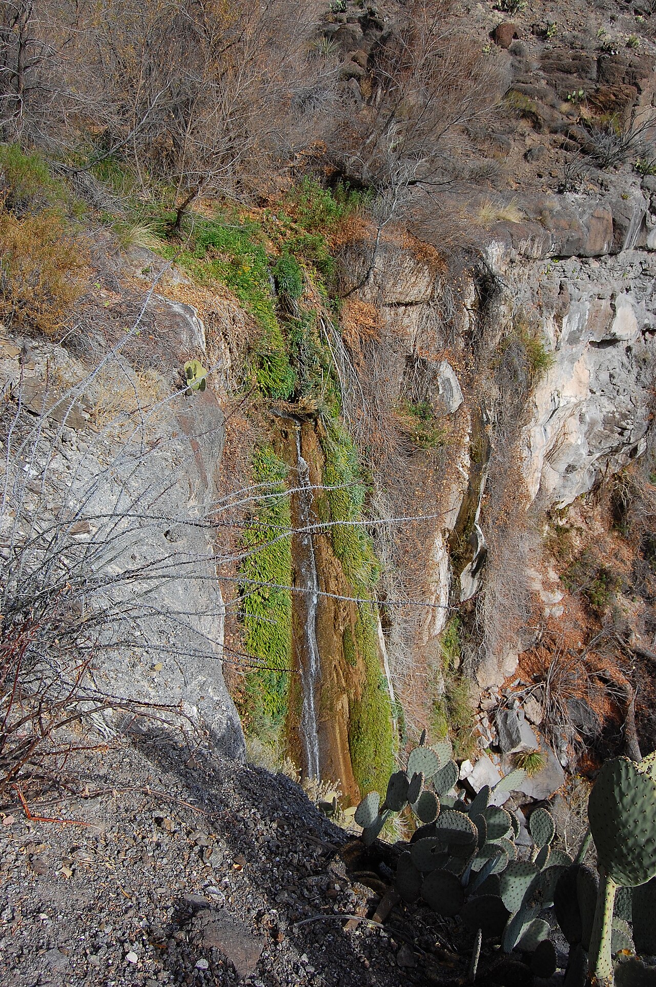
A small waterfall where a pair of ponds cascade into Can Creek along the East Trail of Lost Maples State Natural Area, in the Texas Hill Country canyons of the upper Sabinal River. It is seen near primitive campsite C on the loop hike.
Can Creek Falls sits on Can Creek. You'll find it in Bandera County, Texas. It is protected within Texas Parks & Wildlife Department.
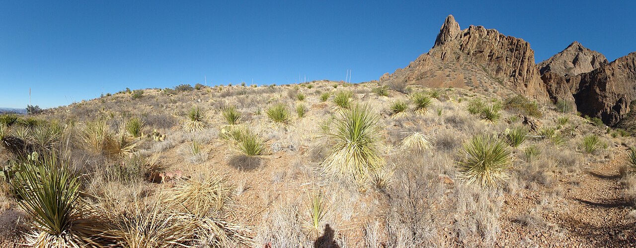
This is a moderate hike waterfall: a longer day hike, roughly one to several miles each way. Plan for a moderate hike; sturdy shoes, water, and a little time on the trail are worth bringing. The walk to the main viewpoint runs about 4.6 miles round trip. Base a visit out of Vanderpool, the closest town.
When to go: Spring / fall (after rain). Expect the strongest flow in spring and after big storms, with a quieter trickle by late summer; confirm current conditions with the land manager before committing to the drive.