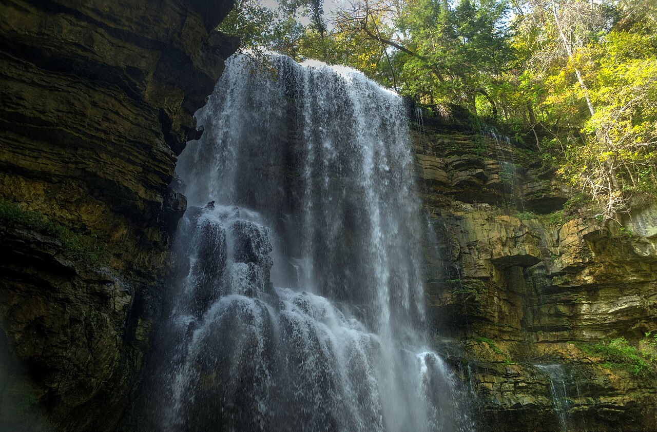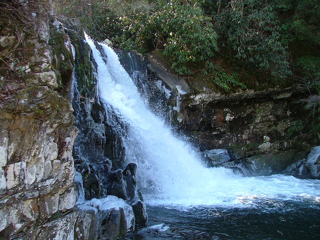
Abrams Falls is a short but powerful 20-foot block waterfall on Abrams Creek in the Cades Cove area of Great Smoky Mountains National Park, pouring over a sandstone ledge into a large, deep pool. It is reached by a 5.1-mile round-trip hike from the Cades Cove Loop Road; swimming is dangerous and prohibited due to strong currents.
Its 20 ft drop is taller than about 12% of the 775 waterfalls we track.
Its water comes from Abrams Creek. It lies in Blount, Tennessee. The site is on public land managed by Great Smoky Mountains National Park (NPS).
This is a moderate hike waterfall: a longer day hike, roughly one to several miles each way. Reaching it takes a moderate walk, so budget time and pack water before you set out. The walk to the main viewpoint runs about 5.1 miles round trip. The nearest town is Townsend.
When to go: Spring; year-round. Flow usually peaks after snowmelt and heavy rain and tapers through late summer — a quick look at recent streamflow and the managing agency's conditions page can save a wasted trip.