Why the Finger Lakes are waterfall country (and a note on heights)
The Finger Lakes sit in a band of central and western New York where long, narrow glacial lakes — Cayuga, Seneca, Skaneateles, Owasco, Canandaigua, and the rest — fan out like the splayed fingers the region is named for. The geology is the whole story. Underneath the rolling farmland lies a thick stack of soft Devonian shale, siltstone, and thin caprock layers. As streams drop off the uplands toward the lake basins, they cut downward through that layered rock fast, and where harder ledges sit over softer beds the water carves stepped gorges and undercut amphitheaters. The result is dozens of waterfalls packed into short, dramatic glens — many of them only a short walk from a parking lot.
What makes the area unusual is not any single giant fall but the concentration. Around Ithaca and Watkins Glen in particular, you can string together several distinct falls in a single day, each in its own gorge, several of them inside state parks built specifically to show them off. The signature experience here is the engineered gorge trail: a stone-and-concrete walkway, much of it laid by the Civilian Conservation Corps in the 1930s, that threads up a creek bed past fall after fall, sometimes behind the water and through tunnels cut in the rock.
A word on the numbers before the list. Waterfall heights in this region are reported inconsistently, and for good reason. A figure like Taughannock's 215 feet describes a single uninterrupted plunge, while a number like Lucifer Falls' 115 feet describes a cascade — a tumbling slide down a stepped rock face rather than a clean free fall. Some published heights count the tallest single drop, others sum a chain of drops down a glen. We give the commonly documented figures here and flag the type, but treat any single number as approximate. The difference between a 'plunge' and a 'cascade' matters more than a few feet either way.
The headliners: Taughannock and the Ithaca gorges
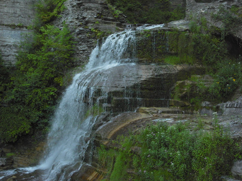
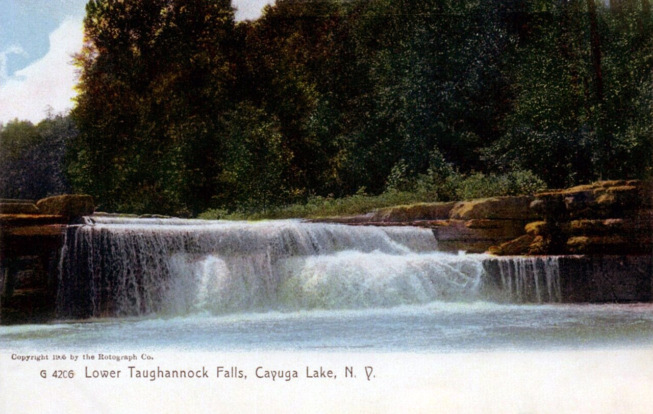
Taughannock Falls is the one number everyone repeats: at a reported 215 feet, it is the tallest single-drop waterfall in the northeastern United States, a thread of water dropping clean off a shale lip into a vast rock amphitheater. It sits in Taughannock Falls State Park near Trumansburg, just north of Ithaca on the west side of Cayuga Lake, under New York State Parks management. The payoff-to-effort ratio is exceptional: the Gorge Trail is a roughly 1.5-mile round trip on flat, easy ground that walks you straight up the creek bed to a viewing area at the base of the plunge pool. There is also a rim overlook reachable by car for those who want the postcard without the walk. Best flow is spring snowmelt, roughly April through June; by late summer the single ribbon can thin out considerably, which is the trade-off with a tall plunge fed by a modest creek.
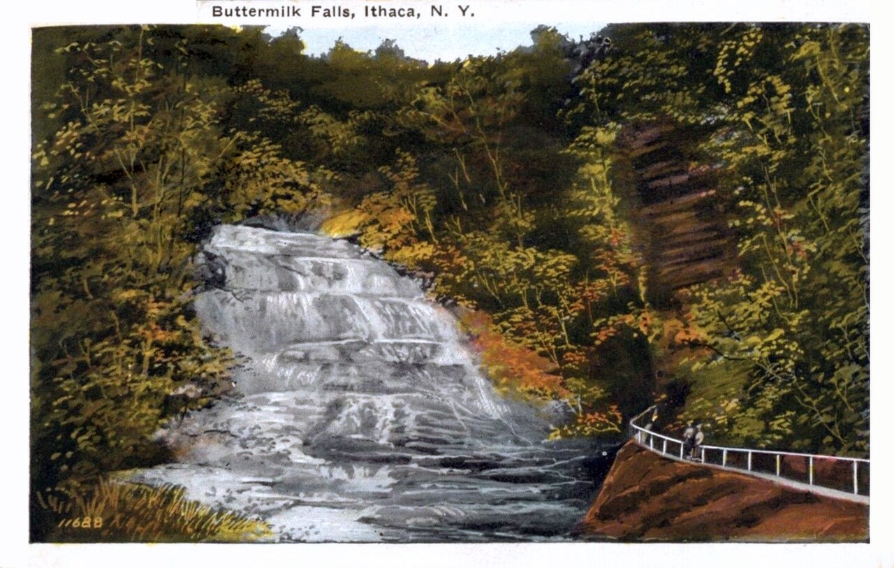
A short drive south, Ithaca earns its 'gorges' reputation. Buttermilk Falls anchors Buttermilk Falls State Park, where Buttermilk Creek descends a long, foaming staircase of bedrock — a roughly 165-foot cascade rather than a single drop — into a swimming hole at the base. The Gorge Trail here is about 1.5 miles and rates as moderate, climbing alongside the water past a series of smaller cascades above the main fall. (You will see this fall cataloged two ways in records — as 'Buttermilk Falls' and specifically as 'Buttermilk Falls (Ithaca)' — both referring to the same cascade in the same state park; the gorge trail runs roughly May through early November when the upper sections are open.)
The third Ithaca-area centerpiece is Lucifer Falls in Robert H. Treman State Park, a roughly 115-foot cascade on Enfield Creek that pours through a narrow, sculpted slot. It is the showpiece of a gorge that holds around a dozen waterfalls along its length. The most direct approach is about a 1.1-mile moderate climb on the Gorge Trail, which winds up past stone-cut steps and overlooks with the fall framed at the head of the glen; the gorge trail season runs roughly May through early November, when the CCC-era stonework is open and ice-free. Together, Taughannock, Buttermilk, and Lucifer make a tight three-stop loop that defines a Finger Lakes waterfall day.
Watkins Glen and the Montour Falls glens
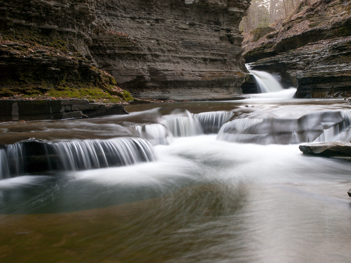
If one place captures the engineered-gorge experience, it is Watkins Glen State Park at the south end of Seneca Lake. The park's centerpiece is not a single named fall but a sequence — the Gorge Trail follows Glen Creek up through nineteen waterfalls along roughly 1.5 miles of stone path, stairs, and tunnels, passing landmarks including Cavern Cascade (where the trail ducks behind falling water) and the park's own Rainbow Falls, a roughly 100-foot cascade where a side tributary fans over a mossy ledge into the main creek. The trail is moderate, with a lot of stair-climbing, and is seasonal: it generally opens mid-May and closes in late October, weather permitting, because the gorge is impassable and dangerous when iced over. Plan on a midweek visit or an early start — this is the most popular gorge in the region and the path is narrow.
Just south in the village of Montour Falls, two more falls sit almost in town and ask very little of you. Eagle Cliff Falls in Havana Glen Park is a roughly 41-foot plunge on McClure Creek, reached by a short, easy walk of about 0.4 mile — a genuine quick stop with a campground attached. Nearby Deckertown Falls is a roughly 60-foot tiered fall on a tributary of the same creek system, managed by the Village of Montour Falls; the approach is short, around 0.3 mile, but rated moderate because the unofficial path down into the glen can be steep and slick. Both run best in spring. Montour Falls also gives its name to the village's own Shequaga (Chequagua) Falls dropping right beside the main road, making this a town where you can see waterfalls almost without leaving the car.
These southern Seneca glens pair naturally with the Ithaca cluster — Watkins Glen sits only about 25 miles west of Ithaca — so an ambitious visitor can combine the Glen Creek gorge with one or two Ithaca falls in a single long day, weather and crowds allowing.
The quieter glens: Skaneateles, Naples, Moravia, and a strenuous bonus
Beyond the marquee parks, the region rewards anyone willing to drive a little farther for a lot more solitude. Carpenter Falls, on Bear Swamp Creek near the west side of Skaneateles Lake, is a roughly 90-foot cascade in a small Unique Area co-managed by the New York State Department of Environmental Conservation and the Finger Lakes Land Trust. A short trail of about 1.1 miles, with some stone stairs, drops you to viewpoints of the fall and the gorge below — an easy, uncrowded alternative to the state-park scene near Ithaca, best in spring when the creek is full.
Grimes Glen, a county park near Naples at the south end of Canandaigua Lake, is a different kind of trip: the maintained trail ends before the falls, so reaching the first of its two roughly 60-foot cascades means wading up Grimes Creek itself. That makes summer the recommended season here — counterintuitively, you want lower water, when the creek is shallow enough to walk up safely. It is rated moderate mostly because of the wet, rocky footing rather than distance (about a mile). Wear shoes you do not mind soaking and check conditions; this is not a trip to make after heavy rain.
Two more round out the region. Cowshed Falls is a roughly 56-foot tiered fall on Dry Creek inside Fillmore Glen State Park near Moravia, at the south end of Owasco Lake — reached via the park's gorge trail (figure roughly 2.6 miles for the loop, moderate), best in spring. And for hikers who want a workout, Lick Brook Falls south of Ithaca is the strenuous outlier: a tiered fall with drops up to about 93 feet in the Sweedler and Thayer Preserves, on land tied to the Finger Lakes Land Trust and Cornell University. The route runs about 3.6 miles round trip with steep climbing, and the reward is a wild, lesser-known gorge with several falls and almost none of the crowds you will find at Taughannock or Watkins Glen. Spring is the season — both for water volume and for sure footing on the steep grade.
Planning a Finger Lakes waterfall trip
Timing is the single biggest decision. The tall plunge falls — Taughannock above all — are at their most dramatic during spring snowmelt, roughly April through June, when the creeks carry the year's heaviest flow. The state-park gorge trails (Watkins Glen, the Ithaca parks, Fillmore Glen) operate on a season of their own: they typically open in mid-May and close by late October or early November, because the stone walkways are genuinely hazardous once ice forms. If you arrive in early spring or late fall, check the specific park's gorge-trail status before you go, since rim trails may be open when the gorge route is not. Grimes Glen is the exception that wants summer, when low water makes the creek-wade up to the falls feasible.
Geography makes clustering easy. The Ithaca falls — Taughannock, Buttermilk, Lucifer, and the strenuous Lick Brook — sit within a short radius of the city and pair into a single day. Watkins Glen and the Montour Falls glens form a second cluster at the south end of Seneca Lake, about a half hour west. Carpenter Falls (Skaneateles), Grimes Glen (Naples), and Fillmore Glen's Cowshed Falls (Moravia) are spread around the eastern and western edges and work best as add-ons when you are near one of the lakes. Most of these are managed by New York State Parks or by land trusts and counties, so day-use or parking fees vary; the busy state parks can charge a per-vehicle fee in season.
A safety word, because the same soft shale that makes these falls beautiful makes the gorges dangerous. The rock is slick when wet, ledges undercut, and people are seriously injured most years climbing on closed gorge sections or wading into plunge pools above hidden drops. Stay on the marked trails inside the state parks, respect the seasonal closures, and treat the creek-wade falls like Grimes Glen with caution — never enter a gorge during or right after heavy rain, when flash flow can rise fast. Reported heights in this guide are drawn from agency and database sources and should be read as documented estimates, not surveyed-to-the-foot measurements.