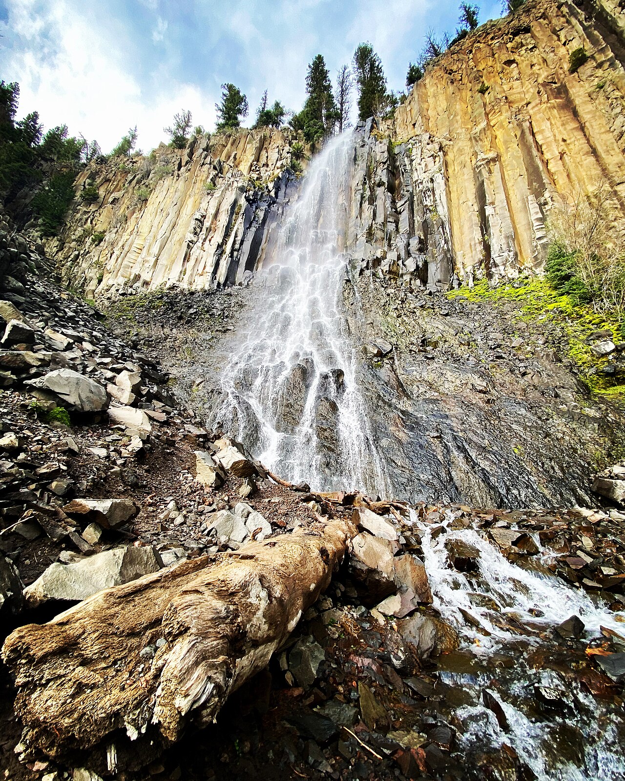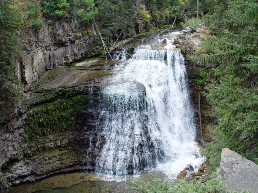
Virginia Falls is a tiered waterfall in Montana with a documented drop of 50 ft (15 m).
Virginia Falls sits on Virginia Creek. It lies in Glacier County, Montana. The site is on public land managed by National Park Service (Glacier National Park).
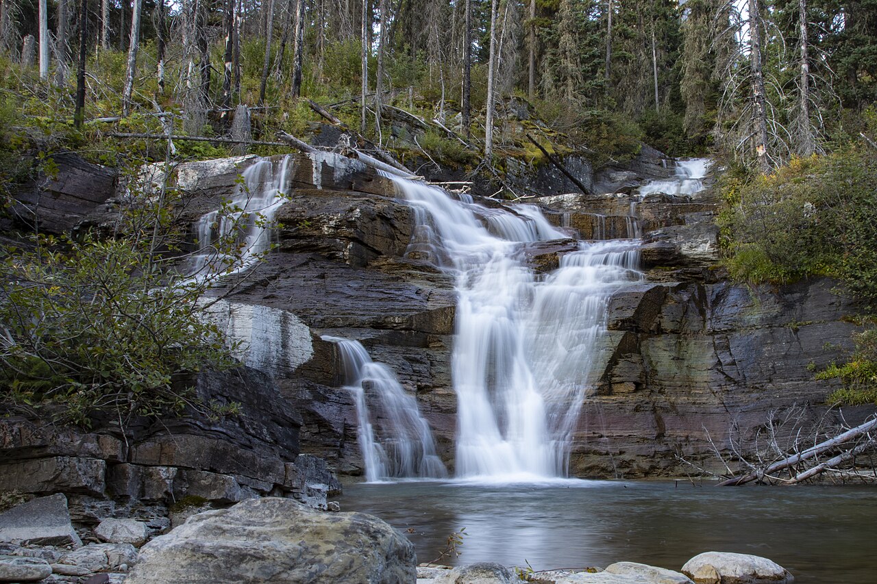
This is a moderate hike waterfall: a longer day hike, roughly one to several miles each way. The walk to the main viewpoint runs about 3.6 miles round trip. The nearest town is St. Mary.
When to go: Summer. Like most waterfalls, Virginia Falls runs highest after snowmelt or heavy rain and can thin out in late summer, so it's worth checking recent streamflow and the land manager's conditions page before a long drive.