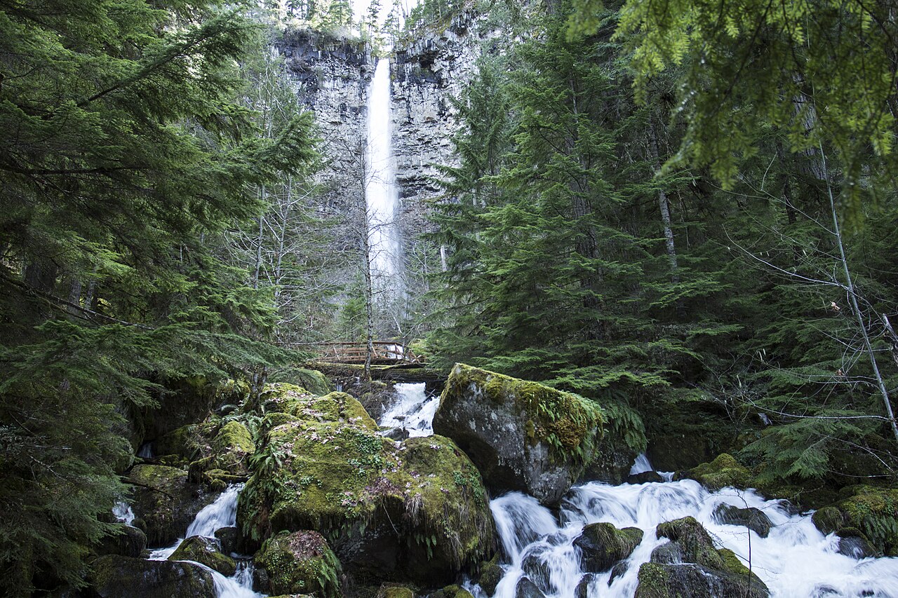
Umbrella Falls fans about 59 feet down a rough wall of reddish bedrock on the East Fork Hood River below the Mt. Hood Meadows ski area. The surrounding meadows bloom with wildflowers in mid-to-late summer.
At 59 ft, it stands above roughly 44% of the 775 documented falls in this guide.
Umbrella Falls sits on East Fork Hood River. You'll find it in Hood River, Oregon. It is protected within US Forest Service (Mt. Hood National Forest).
This is a moderate hike waterfall: a longer day hike, roughly one to several miles each way. Plan for a moderate hike; sturdy shoes, water, and a little time on the trail are worth bringing. The walk to the main viewpoint runs about 3.4 miles round trip. Base a visit out of Government Camp, the closest town.
When to go: Summer. Like most waterfalls, Umbrella Falls runs highest after snowmelt or heavy rain and can thin out in late summer, so it's worth checking recent streamflow and the land manager's conditions page before a long drive.