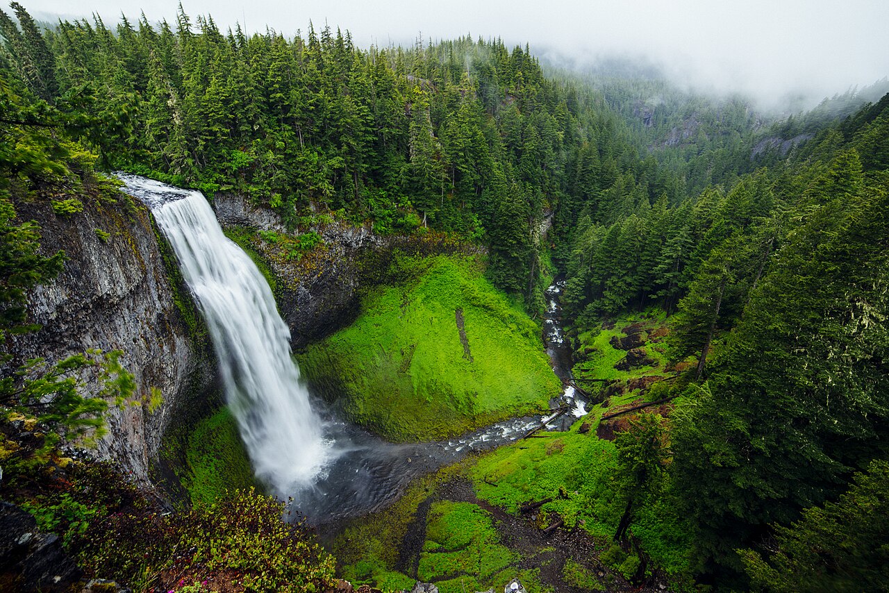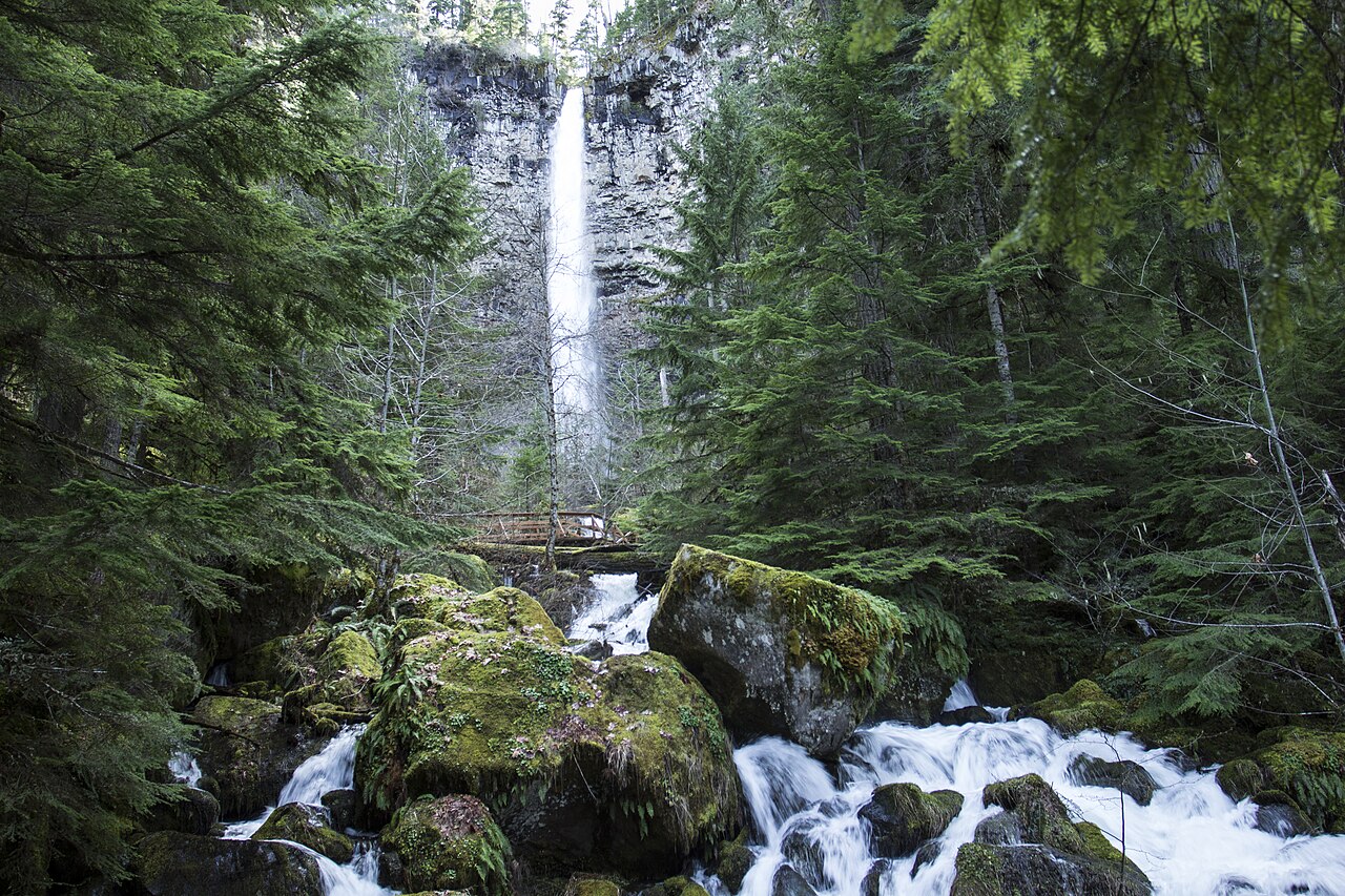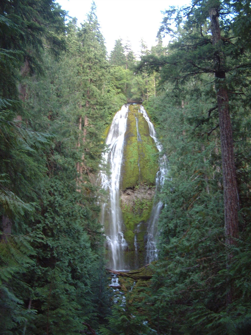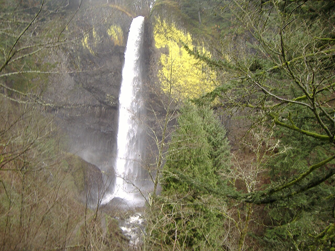
Multnomah Falls is a giant of a waterfall: 620 ft (189 m) of falling water, among the tallest in the country and a standout tiered waterfall in Oregon. It ranks #12 by height among the waterfalls in this guide.
The falls are fed by Multnomah Creek. It lies in Multnomah, Oregon. The site is on public land managed by Columbia River Gorge NSA (USFS).
This is a short hike waterfall: reached by a short trail, generally under about a mile each way. The walk to the main viewpoint runs about 2.4 miles round trip. The nearest town is Bridal Veil.
When to go: Winter and spring (Nov-May); flows year-round. Like most waterfalls, Multnomah Falls runs highest after snowmelt or heavy rain and can thin out in late summer, so it's worth checking recent streamflow and the land manager's conditions page before a long drive.