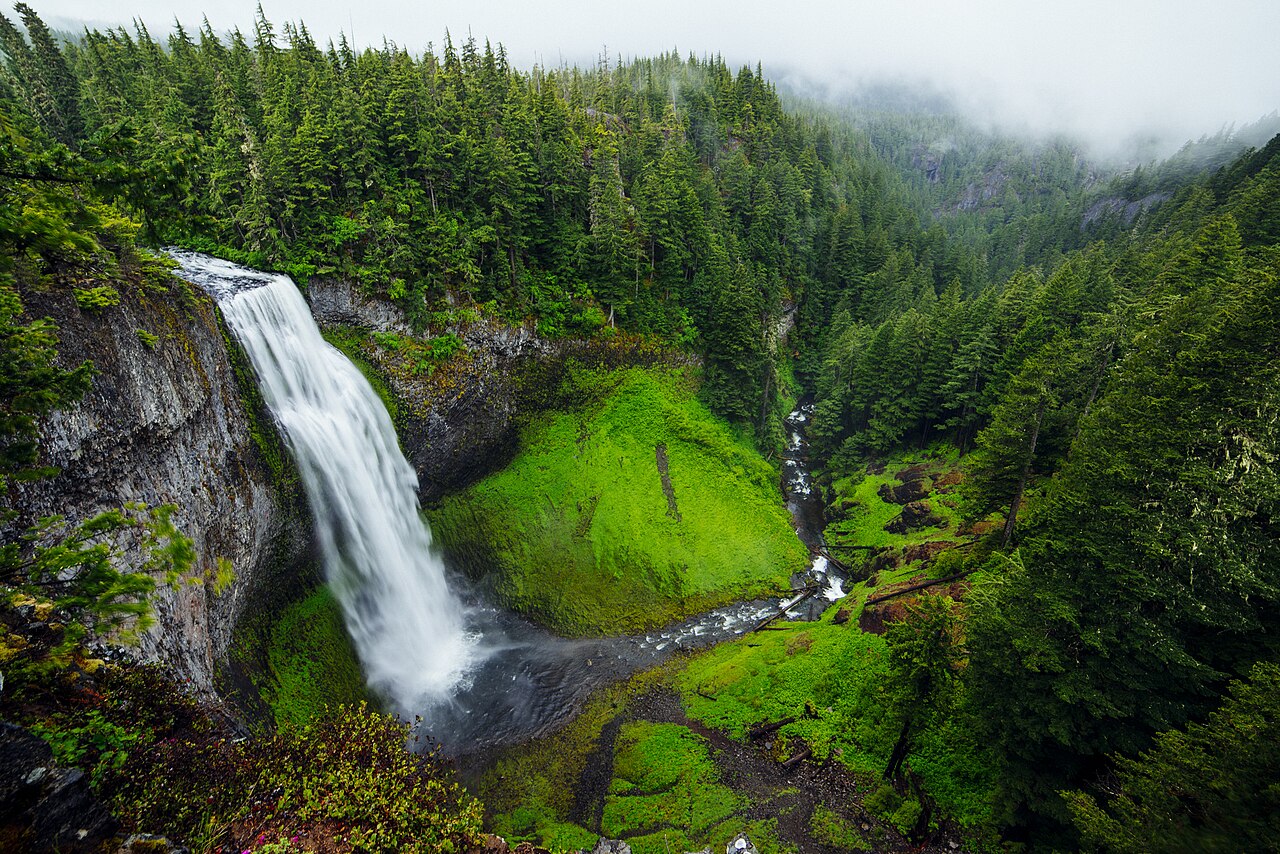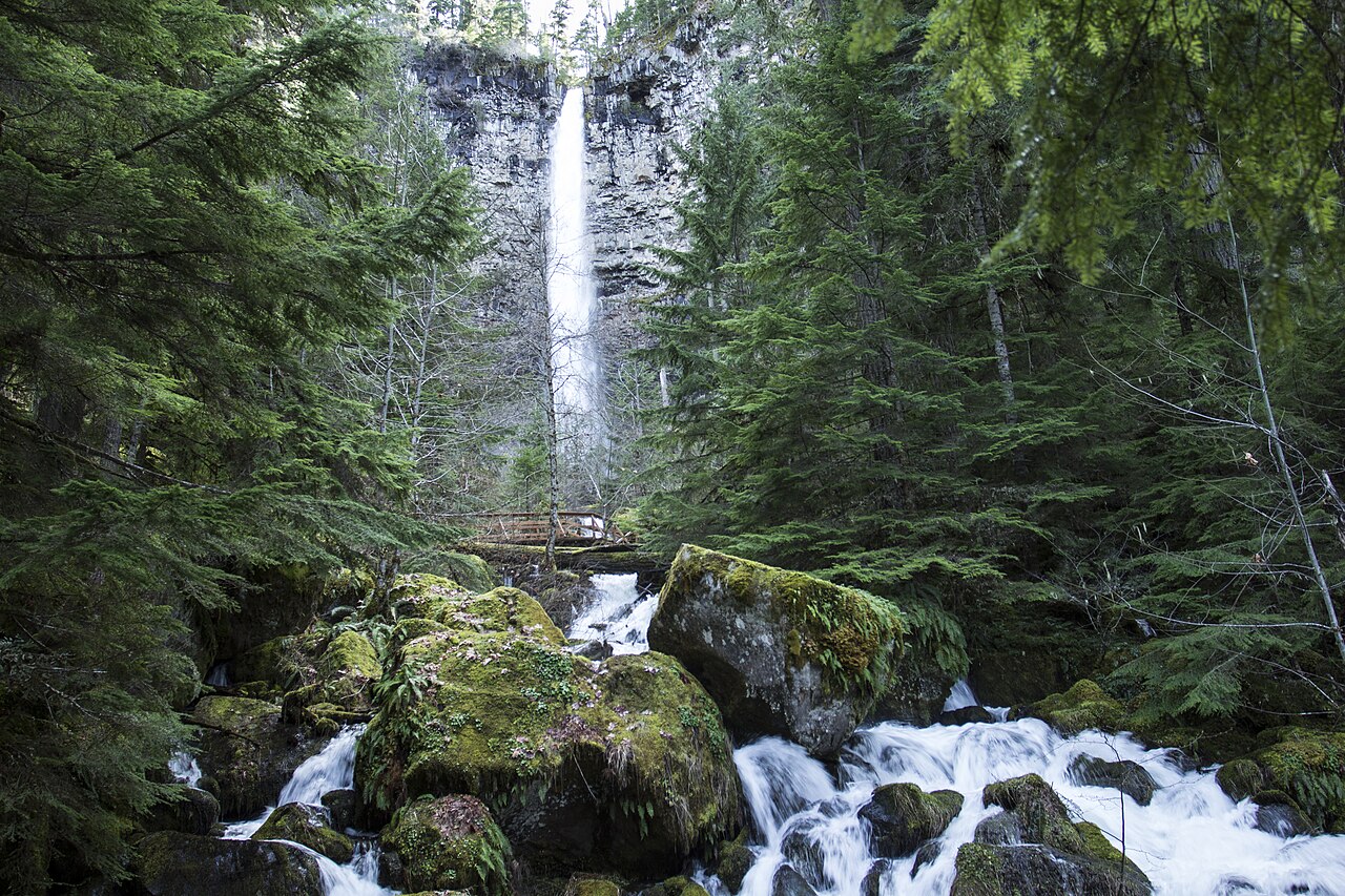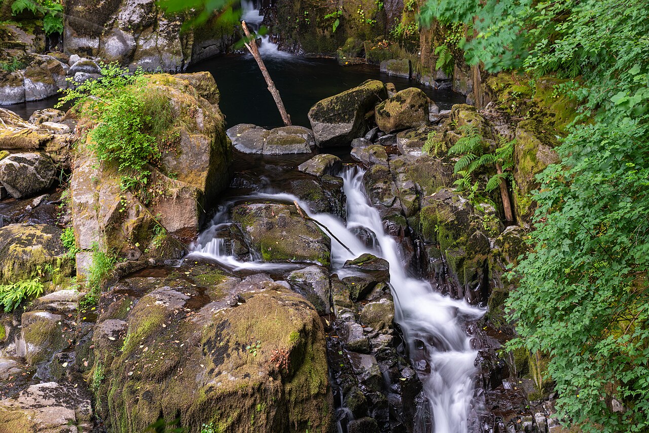
A series of tiered cascades and small plunges along Sweet Creek near Mapleton in the Oregon Coast Range, with the main falls dropping in stepped tiers totaling about 70 feet. The streamside trail uses catwalks bolted to the canyon wall in places.
Its 70 ft drop is taller than about 54% of the 775 waterfalls we track.
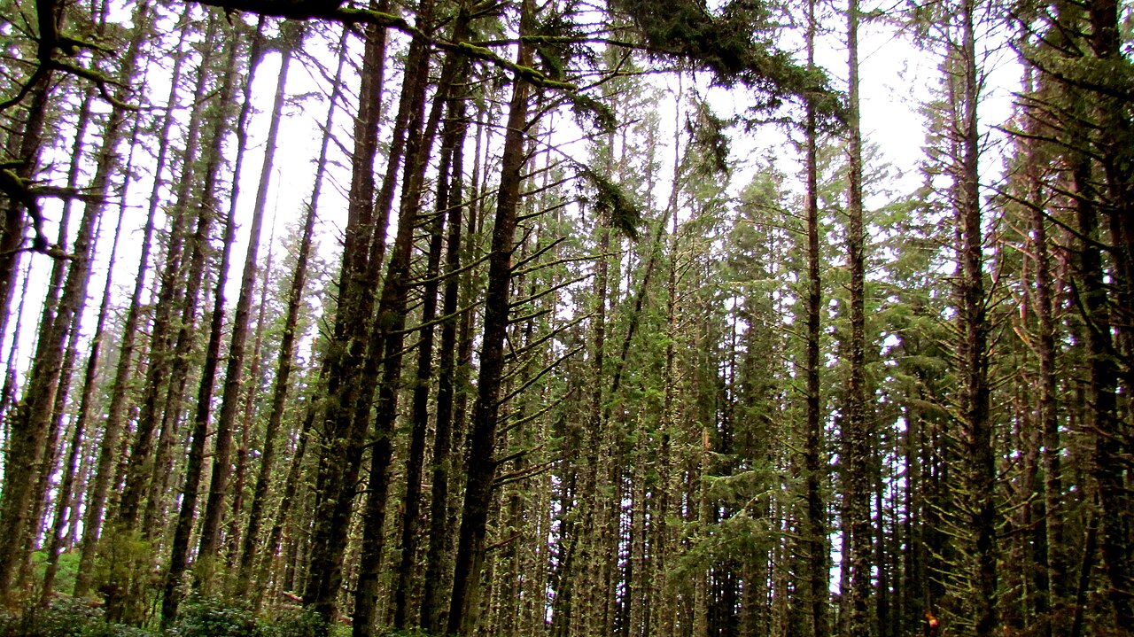
The falls are fed by Sweet Creek. It lies in Lane, Oregon. The site is on public land managed by Siuslaw National Forest (USFS) / BLM.
This is a short hike waterfall: reached by a short trail, generally under about a mile each way. The walk in is brief — comfortable shoes are usually all you need. The walk to the main viewpoint runs about 2.2 miles round trip. The nearest town is Mapleton.
When to go: spring. Flow usually peaks after snowmelt and heavy rain and tapers through late summer — a quick look at recent streamflow and the managing agency's conditions page can save a wasted trip.