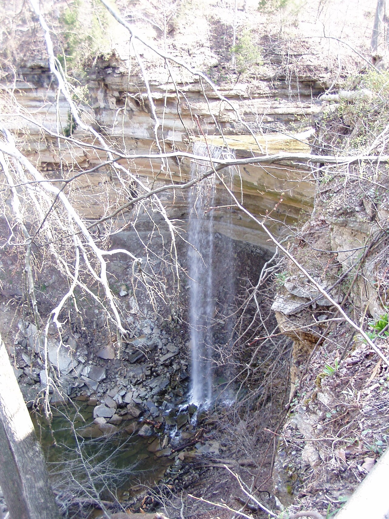
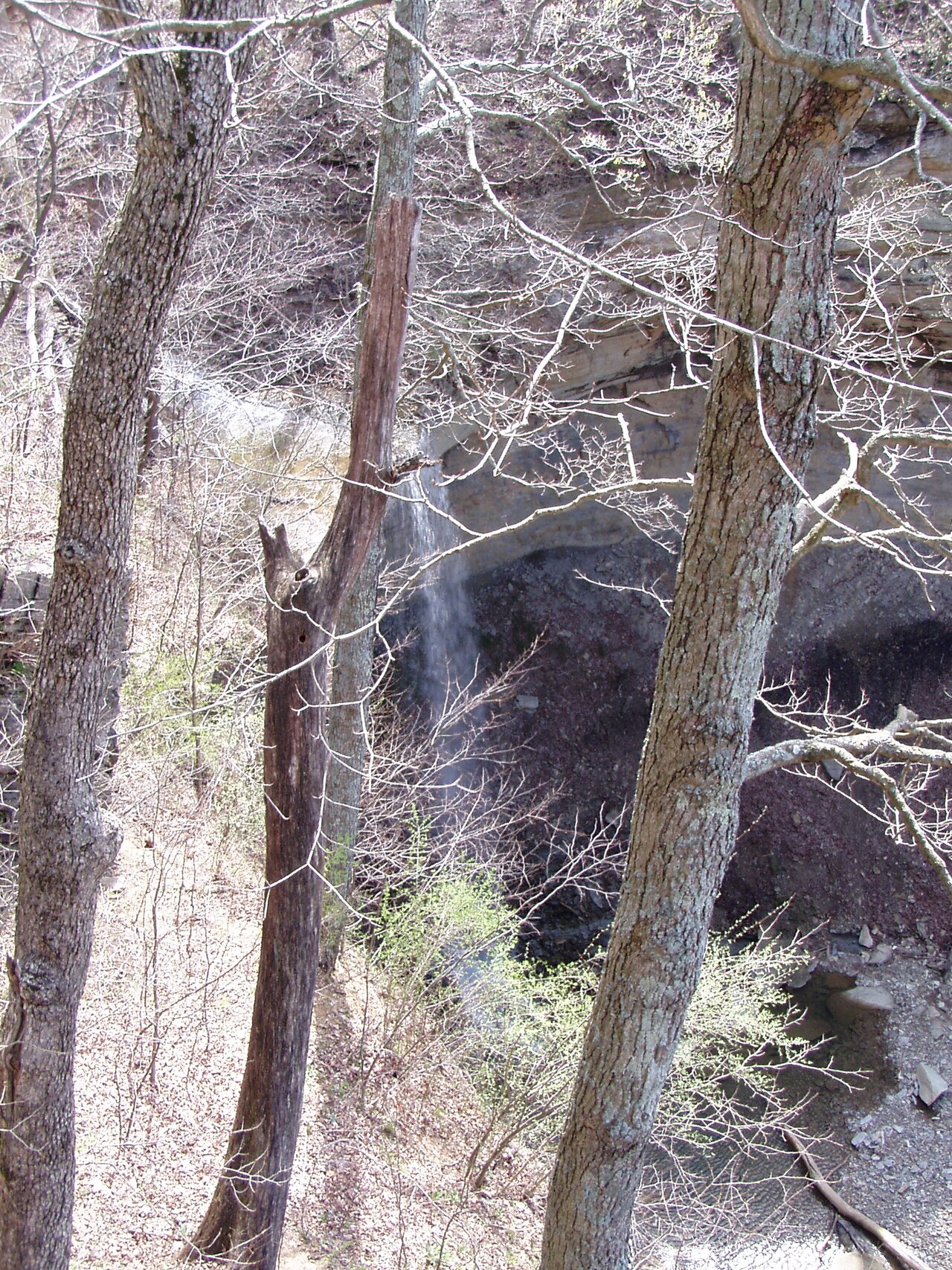
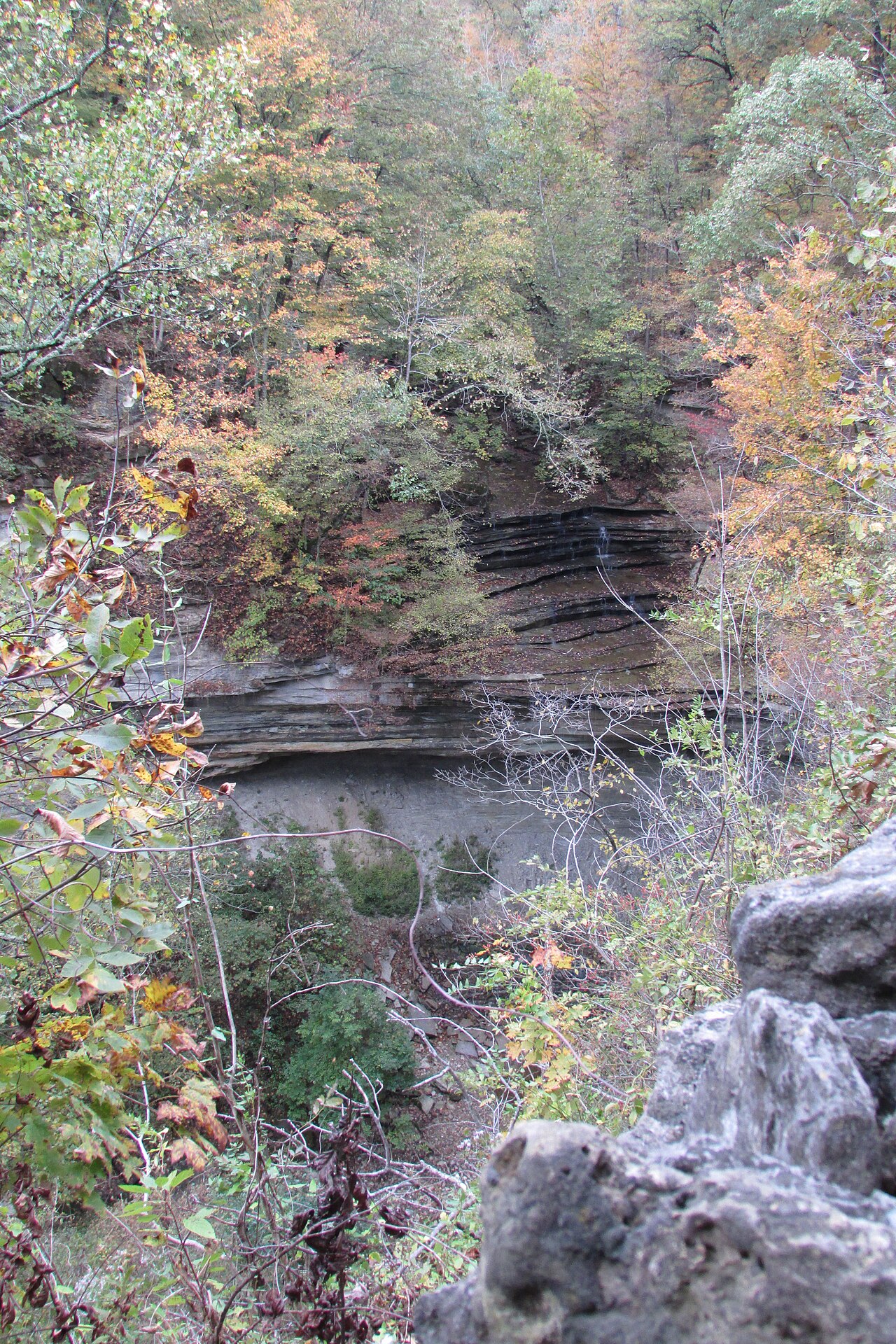
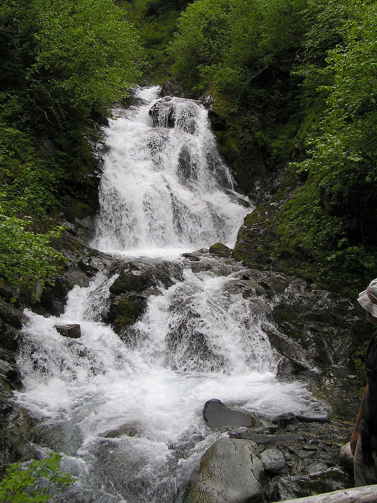
The Lower Falls of Cataract Falls drop about 30 feet on Mill Creek, roughly a mile downstream of the Upper Falls; together they form Indiana's largest waterfall by volume. The looped Ed Dailey Nature Trail (about 1.6 miles) connects the Upper and Lower Falls along the creek.
Its 30 ft drop is taller than about 24% of the 775 waterfalls we track.
Its water comes from Mill Creek. It lies in Owen, Indiana. The site is on public land managed by Lieber State Recreation Area / Cataract Falls SRA (Indiana DNR).
This is a short hike waterfall: reached by a short trail, generally under about a mile each way. The walk in is brief — comfortable shoes are usually all you need. The walk to the main viewpoint runs about 1.6 miles round trip. The nearest town is Cloverdale.
When to go: Spring. Water volume swings with the seasons here, strongest after snowmelt or rain and lowest in late summer, so check recent streamflow before you go.