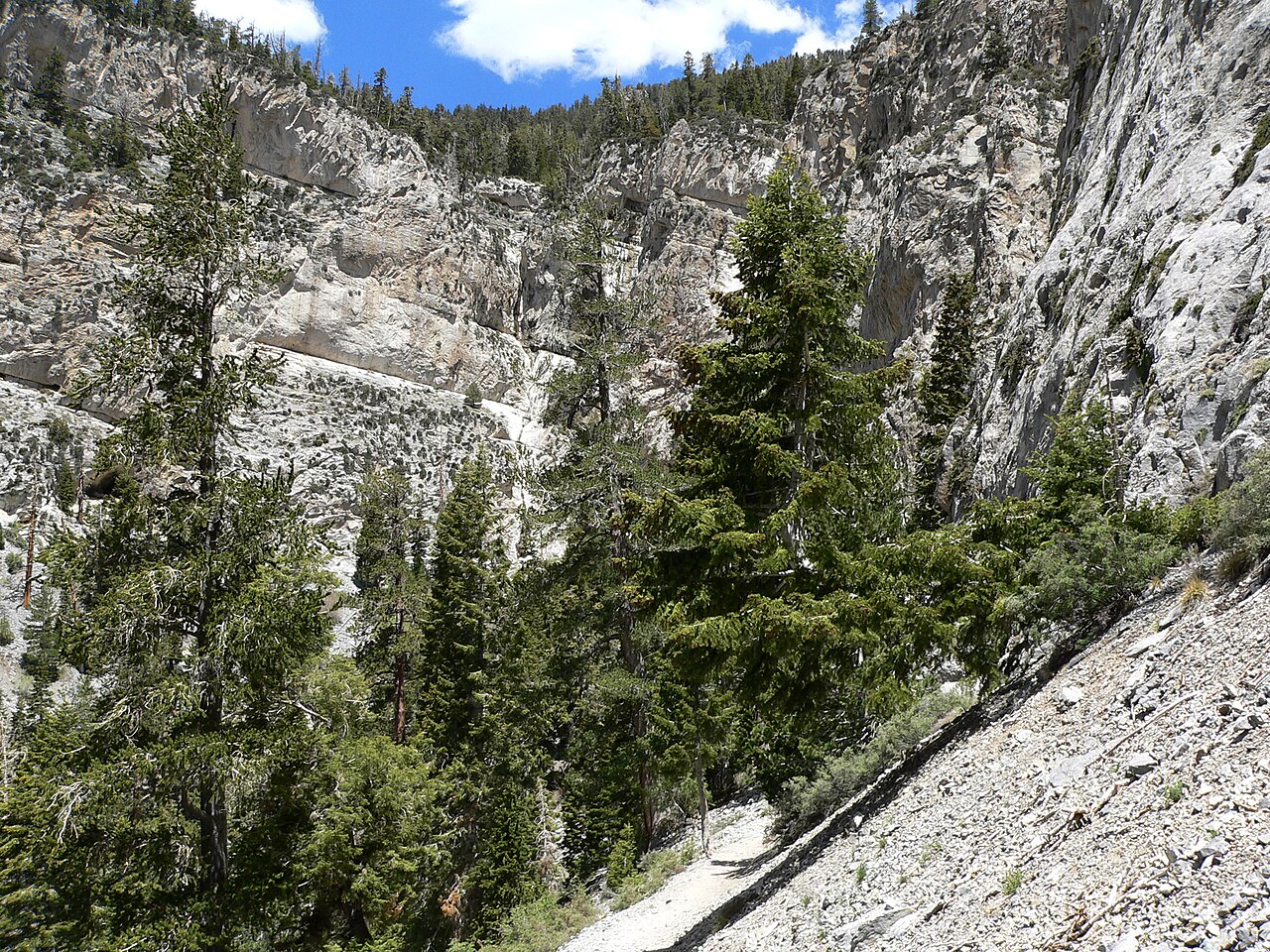
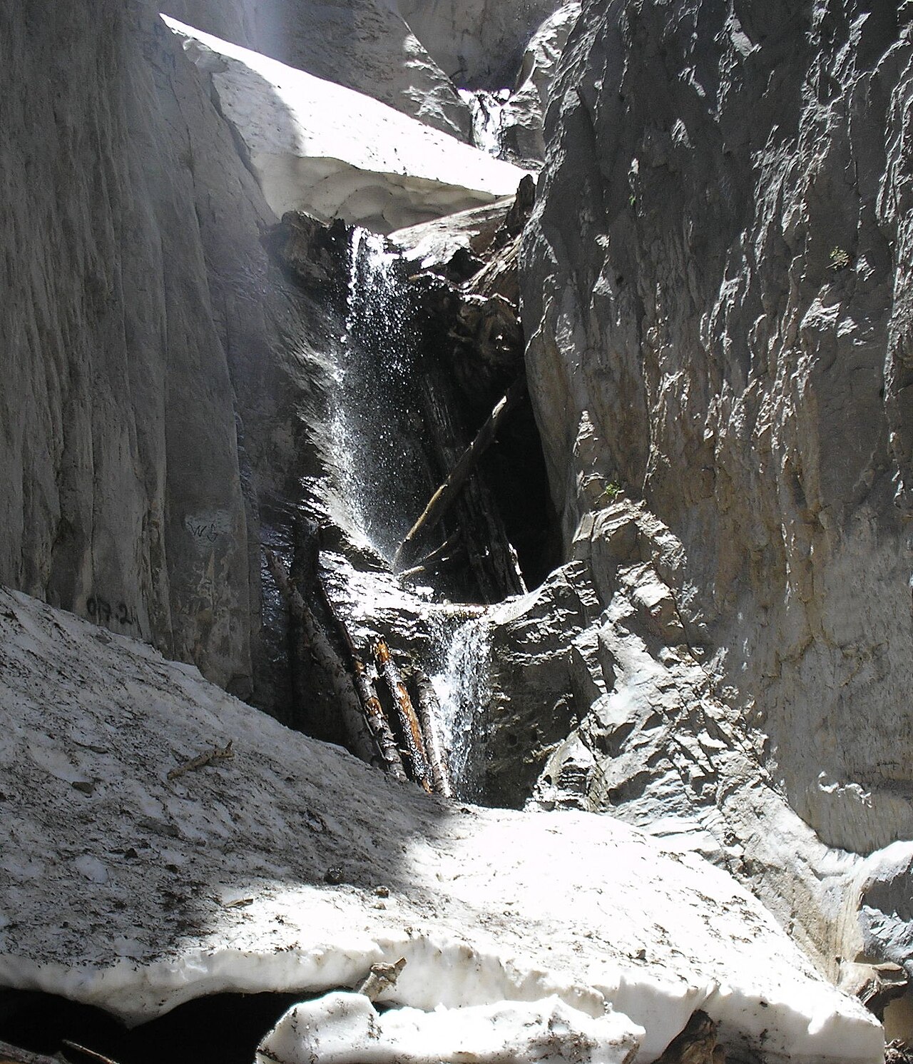
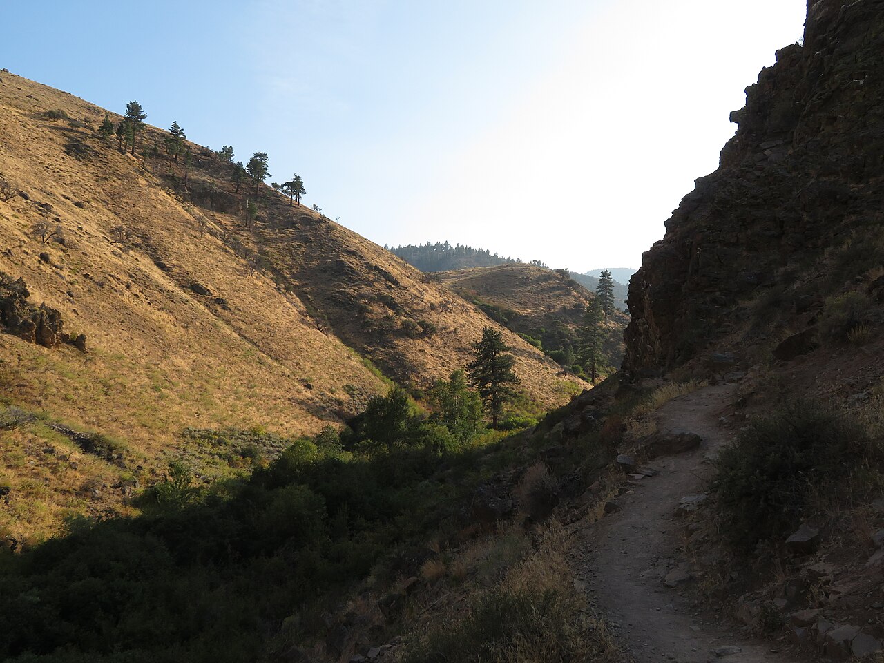
Fletcher Canyon Trail follows a creek through forest into a deep, slot-like section of water-polished limestone in the Mount Charleston Wilderness, where a small seasonal waterfall forms after snowmelt. The roughly 4.2-mile round-trip hike narrows and requires some scrambling near its upper end.
Fletcher Canyon Falls sits on Fletcher Canyon drainage. It lies in Clark, Nevada. The site is on public land managed by Humboldt-Toiyabe National Forest (Spring Mountains NRA).
This is a moderate hike waterfall: a longer day hike, roughly one to several miles each way. Reaching it takes a moderate walk, so budget time and pack water before you set out. The walk to the main viewpoint runs about 4.2 miles round trip. The nearest town is Mount Charleston.
When to go: Spring (snowmelt) when the seasonal stream flows. Water volume swings with the seasons here, strongest after snowmelt or rain and lowest in late summer, so check recent streamflow before you go.