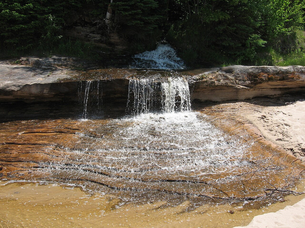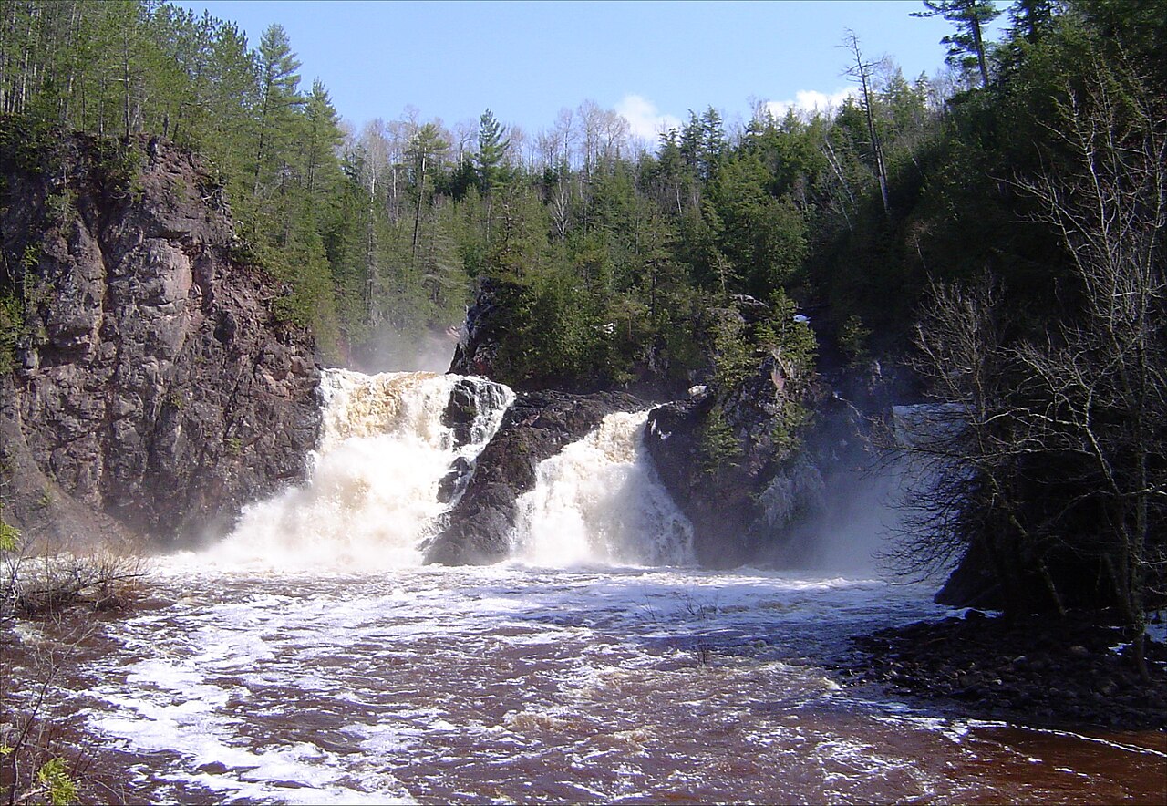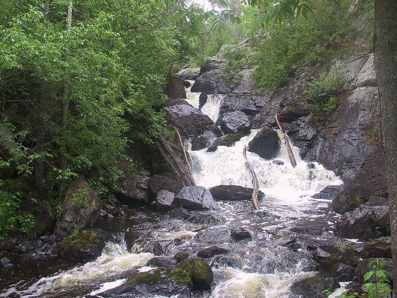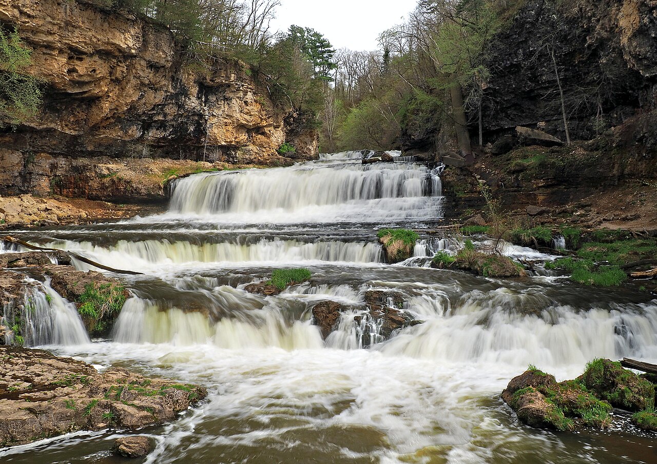
On the Potato River southwest of Gurney in Iron County, this two-part falls drops roughly 40 feet over the upper falls and about 50 feet over the lower falls for a combined drop of around 90 feet. A short, rooty out-and-back trail reaches overlooks of both drops.
Its 90 ft drop is taller than about 67% of the 775 waterfalls we track.
Potato River Falls sits on Potato River. It lies in Iron, Wisconsin. The site is on public land managed by Iron County.
This is a short hike waterfall: reached by a short trail, generally under about a mile each way. The walk in is brief — comfortable shoes are usually all you need. The walk to the main viewpoint runs about 0.8 miles round trip. The nearest town is Gurney.
When to go: spring. Flow usually peaks after snowmelt and heavy rain and tapers through late summer — a quick look at recent streamflow and the managing agency's conditions page can save a wasted trip.