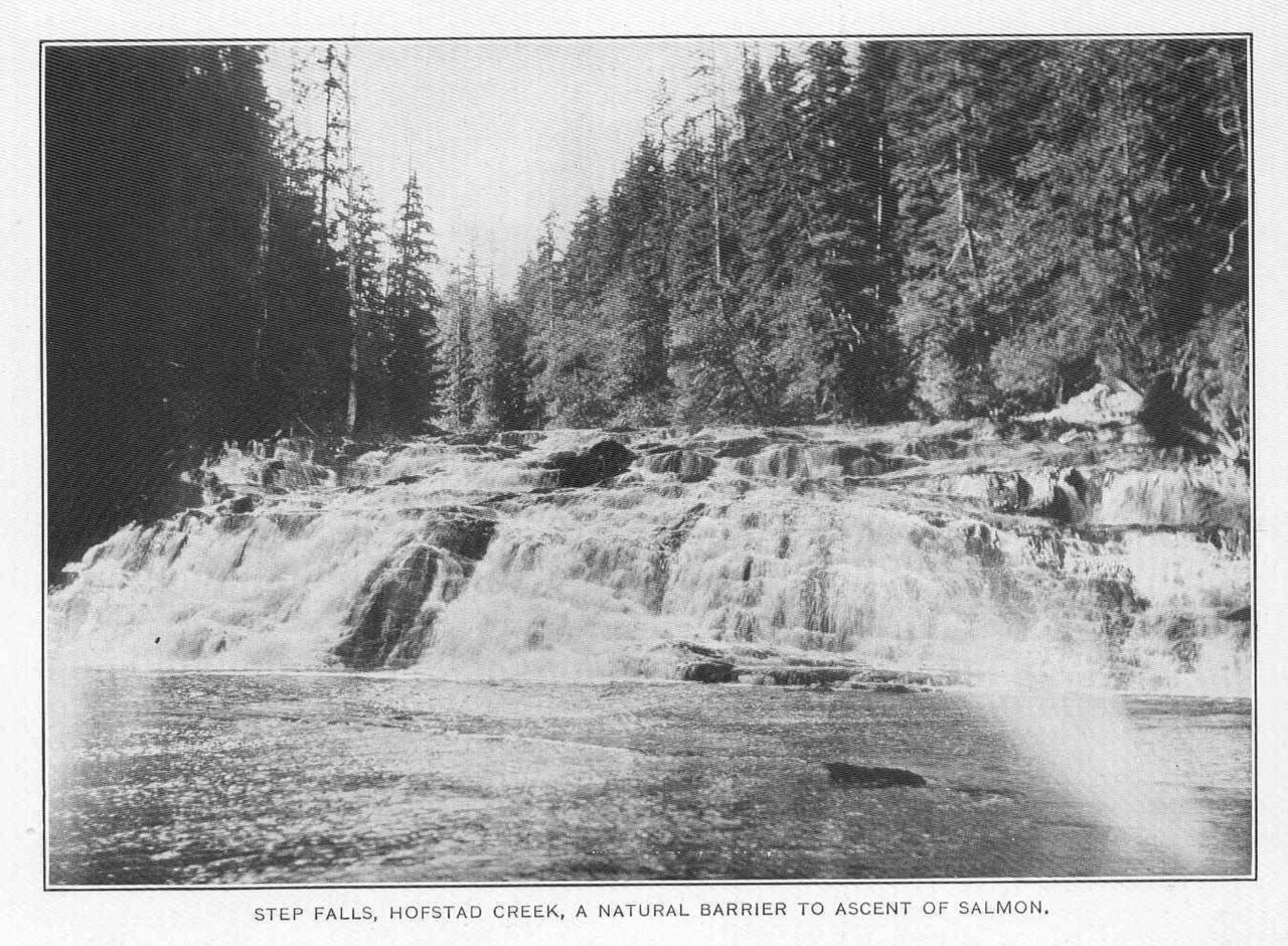
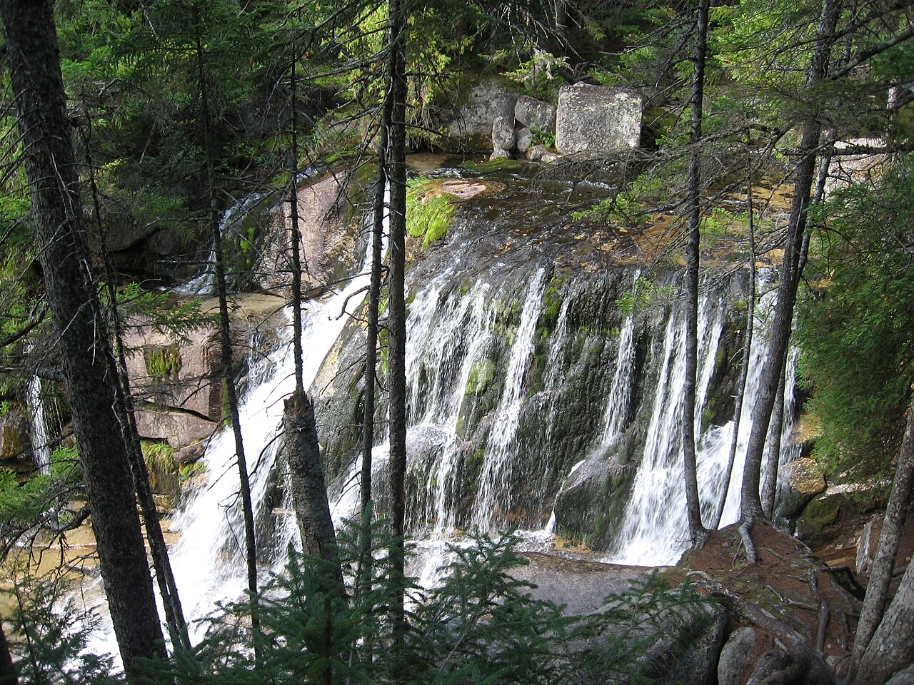
A roughly 40-foot, 100-foot-wide block waterfall spanning the Dead River in the West Forks region of western Maine, among the state's larger-volume falls. It is reached via the Maine Huts Trail and is also a destination for whitewater paddlers during dam releases.
Its 40 ft drop is taller than about 33% of the 775 waterfalls we track.
The falls are fed by Dead River. It lies in Somerset, Maine. The site is on public land managed by Maine Huts & Trails / commercial timberland.
This is a moderate hike waterfall: a longer day hike, roughly one to several miles each way. Reaching it takes a moderate walk, so budget time and pack water before you set out. The walk to the main viewpoint runs about 1.6 miles round trip. The nearest town is West Forks.
When to go: Late spring and during dam releases (May-Jun). Flow usually peaks after snowmelt and heavy rain and tapers through late summer — a quick look at recent streamflow and the managing agency's conditions page can save a wasted trip.