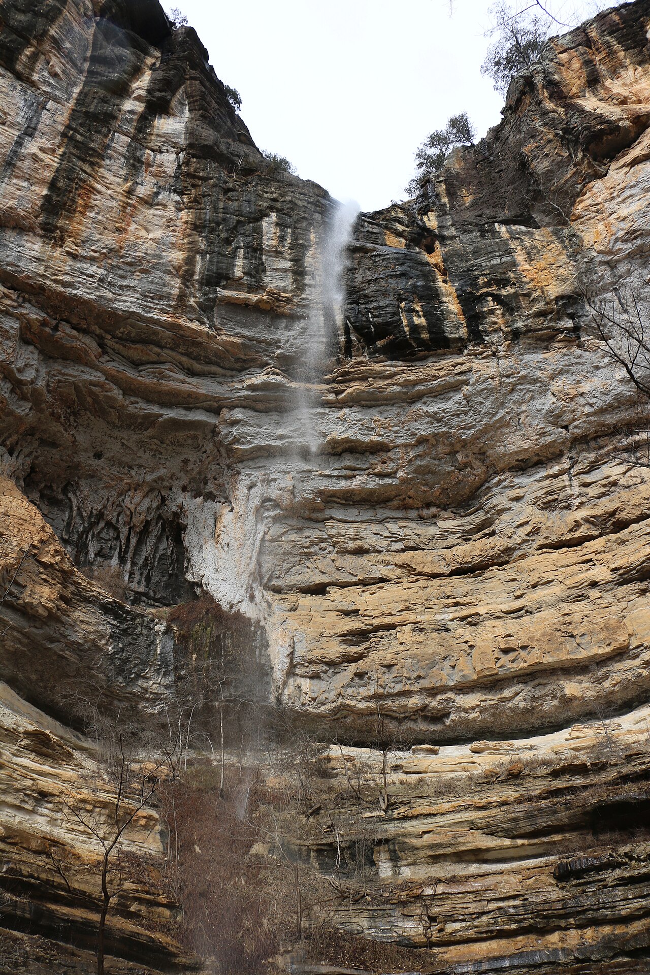
A roughly 56-foot waterfall in the Upper Buffalo Wilderness of the Ozark National Forest. The route follows an old road and ends with a steep bushwhack down to the top of the falls; a GPS is recommended for navigation.
At 56 ft, it stands above roughly 44% of the 775 documented falls in this guide.
The falls are fed by Bowers Hollow Creek. You'll find it in Newton County, Arkansas. It is protected within Ozark National Forest (U.S. Forest Service).
This is a backcountry waterfall: a remote, long, or permit-required trek for prepared visitors. Getting there takes a genuine backcountry effort, so come prepared with navigation, water, and enough daylight. The walk to the main viewpoint runs about 5 miles round trip. Base a visit out of Ponca, the closest town.
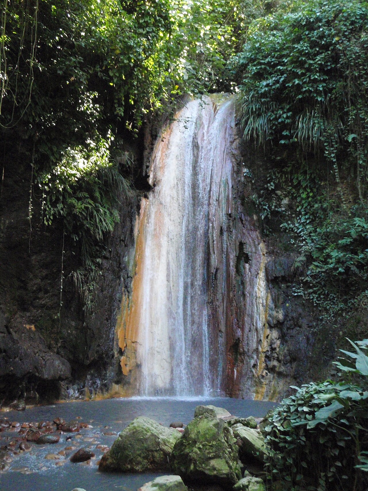
When to go: November through April. Expect the strongest flow in spring and after big storms, with a quieter trickle by late summer; confirm current conditions with the land manager before committing to the drive.