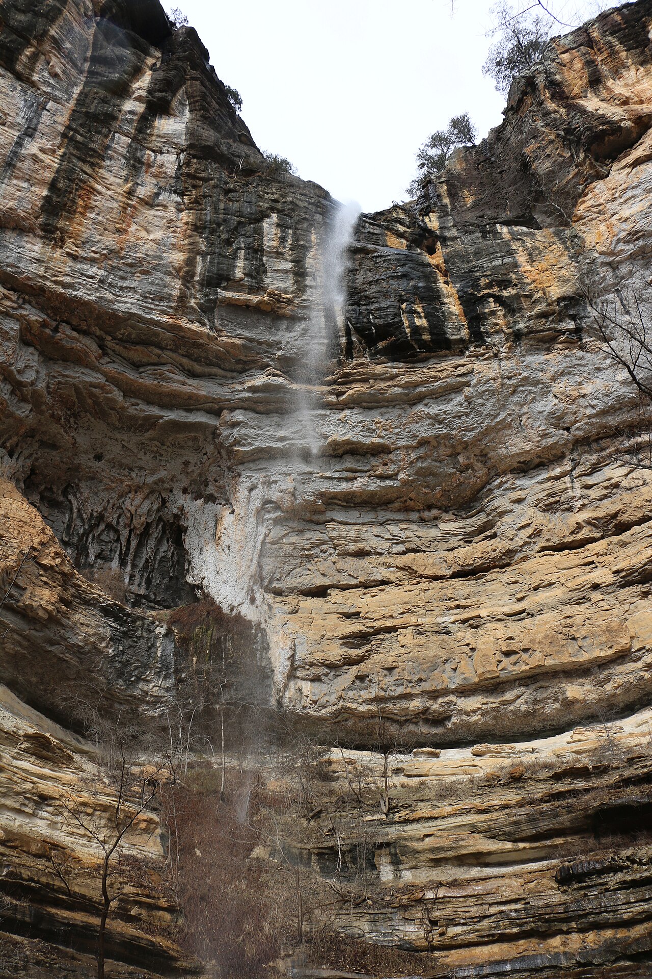
Richland Falls is a wide, low ledge waterfall spanning Richland Creek in the Richland Creek Wilderness of the Ozark National Forest. There are no maintained trails in the wilderness; reaching it requires an unmarked off-trail route of roughly 6-7 miles round trip with multiple creek crossings.
Richland Falls sits on Richland Creek. It lies in Searcy, Arkansas. The site is on public land managed by Ozark National Forest - Richland Creek Wilderness (USFS).
This is a backcountry waterfall: a remote, long, or permit-required trek for prepared visitors. This one is deep enough in that you should plan for a full backcountry trip — map, water, and a margin of daylight. The walk to the main viewpoint runs about 6.5 miles round trip. The nearest town is Witts Springs.
When to go: Spring (March-May) after rain. Water volume swings with the seasons here, strongest after snowmelt or rain and lowest in late summer, so check recent streamflow before you go.